


3,7 km | 4,2 km-effort
Gemeinde Pfaffstätten: Descubra las mejores excursiones: 8 a pie. Todos estos circuitos, recorridos, itinerarios y actividades al aire libre están disponibles en nuestras aplicaciones SityTrail para smartphone y tablet.
A pie


• Trail created by Fremdenverkehrsverein Pfaffstätten. Symbol: rotes Schild, schwarzer Pfeil, Zierfandlerweg
A pie
• Trail created by Fremdenverkehrsverein Pfaffstätten. Symbol: gelbes Schild, blauer Pfeil, Neuburgerweg
A pie
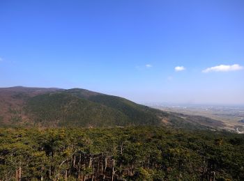
• Trail created by Fremdenverkehrsverein Pfaffstätten.
A pie
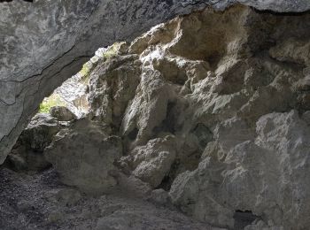
• Trail created by Fremdenverkehrsverein Pfaffstätten. Symbol: grünes Schild, blauer Pfeil, Föhrenweg
A pie
• Trail created by Fremdenverkehrsverein Pfaffstätten. Symbol: graues Schild, gelber Pfeil mit Namen Einödweg
A pie
• Trail created by Fremdenverkehrsverein Pfaffstätten. Symbol: blaues Schild, gelber Pfeil, Blauer Portugieserweg
A pie
A pie
8 excursiones mostradas en 8
Aplicación GPS de excursión GRATIS
 SityTrail
IGN / Institutos geográficos
SityTrail World
El mundo es suyo