![](/images/other/stat-length.png)
- Excursiones
- A pie
- Austria
- Baja Austria
- Bezirk Baden
- Gemeinde Bad Vöslau
Gemeinde Bad Vöslau, Bezirk Baden, A pie: Los mejores itinerarios de excursión, recorridos, paseos y sendas
Gemeinde Bad Vöslau: Descubra las mejores excursiones: 13 a pie. Todos estos circuitos, recorridos, itinerarios y actividades al aire libre están disponibles en nuestras aplicaciones SityTrail para smartphone y tablet.
Los mejores recorridos (13)
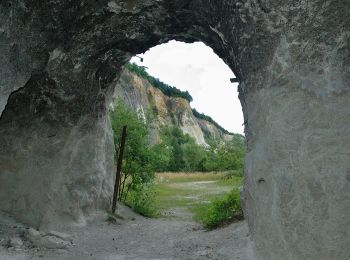
![Excursión A pie Gemeinde Bad Vöslau - Bad Vöslau - Vöslauer Kalkgraben - Photo](https://media.geolcdn.com/t/350/260/8fe19a0b-ce65-4dac-a7fe-c8251ec9ea11.jpeg&format=jpg&maxdim=2)
![A pie A pie](https://static1.geolcdn.com/sitytour/trail-icons/100.png)
Km
A pie
![](/images/other/stat-length.png)
![](https://static1.geolcdn.com/siteimages/upload/files/1508320355ic_sort_den_pos_24dp.png)
![](https://static1.geolcdn.com/siteimages/upload/files/1508320355ic_sort_den_neg_24dp.png)
![](https://static1.geolcdn.com/siteimages/upload/files/16400158638029165_repeat_loop_refresh_sync_direction_icon.png)
• Trail created by ÖTK Österreichischer Touristenklub Sektion Baden.
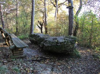
![Excursión A pie Gemeinde Bad Vöslau - Beethoven Rundwanderweg - Photo](https://media.geolcdn.com/t/350/260/93a477f0-1654-4aa9-a0f9-f54798e8806b.jpeg&format=jpg&maxdim=2)
![A pie A pie](https://static1.geolcdn.com/sitytour/trail-icons/100.png)
Km
A pie
![](/images/other/stat-length.png)
![](https://static1.geolcdn.com/siteimages/upload/files/1508320355ic_sort_den_pos_24dp.png)
![](https://static1.geolcdn.com/siteimages/upload/files/1508320355ic_sort_den_neg_24dp.png)
![](https://static1.geolcdn.com/siteimages/upload/files/16400158638029165_repeat_loop_refresh_sync_direction_icon.png)
• Trail created by Wienerwald Tourismus in Kooperation mit dem ÖTK. Symbol: weißer, waagerechter Balken auf rotem Grun...
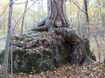
![Excursión A pie Gemeinde Bad Vöslau - Bad Vöslau -Jägerhaus - Cholerakapelle - Photo](https://media.geolcdn.com/t/350/260/07679af8-2fd7-4614-800e-6519adbad7ed.jpeg&format=jpg&maxdim=2)
![A pie A pie](https://static1.geolcdn.com/sitytour/trail-icons/100.png)
Km
A pie
![](/images/other/stat-length.png)
![](https://static1.geolcdn.com/siteimages/upload/files/1508320355ic_sort_den_pos_24dp.png)
![](https://static1.geolcdn.com/siteimages/upload/files/1508320355ic_sort_den_neg_24dp.png)
![](https://static1.geolcdn.com/siteimages/upload/files/16400158638029165_repeat_loop_refresh_sync_direction_icon.png)
• Der ÖTK gilt als Pionier des Fremdenverkehrs. Heute ist der ÖTK mit über 360 Kursen und geführten Touren in 50 Freize...
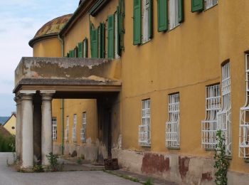
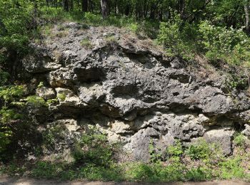
![Excursión A pie Gemeinde Bad Vöslau - Bad Vöslau B6 Großau - Photo](https://media.geolcdn.com/t/350/260/45bd0c09-cbc4-40a2-a371-e1ae7d7cb04e.jpeg&format=jpg&maxdim=2)
![A pie A pie](https://static1.geolcdn.com/sitytour/trail-icons/100.png)
Km
A pie
![](/images/other/stat-length.png)
![](https://static1.geolcdn.com/siteimages/upload/files/1508320355ic_sort_den_pos_24dp.png)
![](https://static1.geolcdn.com/siteimages/upload/files/1508320355ic_sort_den_neg_24dp.png)
![](https://static1.geolcdn.com/siteimages/upload/files/16400158638029165_repeat_loop_refresh_sync_direction_icon.png)
• Trail created by Stadtgemeinde Bad Vöslau.
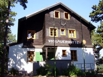
![Excursión A pie Gemeinde Bad Vöslau - Bad Vöslau B5a Lusthausboden - Photo](https://media.geolcdn.com/t/350/260/b14d4956-d3c6-4f1c-b8c0-0b90be63f335.jpeg&format=jpg&maxdim=2)
![A pie A pie](https://static1.geolcdn.com/sitytour/trail-icons/100.png)
Km
A pie
![](/images/other/stat-length.png)
![](https://static1.geolcdn.com/siteimages/upload/files/1508320355ic_sort_den_pos_24dp.png)
![](https://static1.geolcdn.com/siteimages/upload/files/1508320355ic_sort_den_neg_24dp.png)
![](https://static1.geolcdn.com/siteimages/upload/files/16400158638029165_repeat_loop_refresh_sync_direction_icon.png)
• Trail created by Stadtgemeinde Bad Vöslau.
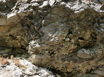
![Excursión A pie Gemeinde Bad Vöslau - Bad Vöslau B3a (Abkürzung) - Photo](https://media.geolcdn.com/t/350/260/95e529b2-63dc-490a-831e-5f5adbb01b8d.jpeg&format=jpg&maxdim=2)
![A pie A pie](https://static1.geolcdn.com/sitytour/trail-icons/100.png)
Km
A pie
![](/images/other/stat-length.png)
![](https://static1.geolcdn.com/siteimages/upload/files/1508320355ic_sort_den_pos_24dp.png)
![](https://static1.geolcdn.com/siteimages/upload/files/1508320355ic_sort_den_neg_24dp.png)
![](https://static1.geolcdn.com/siteimages/upload/files/16400158638029165_repeat_loop_refresh_sync_direction_icon.png)
• Trail created by Stadtgemeinde Bad Vöslau.
![Excursión A pie Gemeinde Bad Vöslau - Bad Vöslau B5 Vöslauer Hütte - Photo](https://media.geolcdn.com/t/350/260/07679af8-2fd7-4614-800e-6519adbad7ed.jpeg&format=jpg&maxdim=2)
![A pie A pie](https://static1.geolcdn.com/sitytour/trail-icons/100.png)
Km
A pie
![](/images/other/stat-length.png)
![](https://static1.geolcdn.com/siteimages/upload/files/1508320355ic_sort_den_pos_24dp.png)
![](https://static1.geolcdn.com/siteimages/upload/files/1508320355ic_sort_den_neg_24dp.png)
![](https://static1.geolcdn.com/siteimages/upload/files/16400158638029165_repeat_loop_refresh_sync_direction_icon.png)
• Trail created by Stadtgemeinde Bad Vöslau.
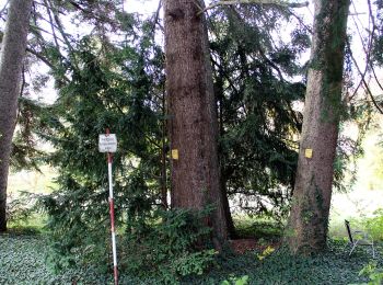
![Excursión A pie Gemeinde Bad Vöslau - Weinwanderweg (Sooß) - Photo](https://media.geolcdn.com/t/350/260/78f9c20b-da8c-4641-9420-9f1e0cc5cf80.jpeg&format=jpg&maxdim=2)
![A pie A pie](https://static1.geolcdn.com/sitytour/trail-icons/100.png)
Km
A pie
![](/images/other/stat-length.png)
![](https://static1.geolcdn.com/siteimages/upload/files/1508320355ic_sort_den_pos_24dp.png)
![](https://static1.geolcdn.com/siteimages/upload/files/1508320355ic_sort_den_neg_24dp.png)
![](https://static1.geolcdn.com/siteimages/upload/files/16400158638029165_repeat_loop_refresh_sync_direction_icon.png)
• Symbol: blaue Weintraube
![Excursión A pie Gemeinde Bad Vöslau - Bad Vöslau B2 Sonnenweg - Photo](https://media.geolcdn.com/t/350/260/b2e00c50-ce10-4669-a57c-a67bb2e6e096.jpeg&format=jpg&maxdim=2)
![A pie A pie](https://static1.geolcdn.com/sitytour/trail-icons/100.png)
Km
A pie
![](/images/other/stat-length.png)
![](https://static1.geolcdn.com/siteimages/upload/files/1508320355ic_sort_den_pos_24dp.png)
![](https://static1.geolcdn.com/siteimages/upload/files/1508320355ic_sort_den_neg_24dp.png)
![](https://static1.geolcdn.com/siteimages/upload/files/16400158638029165_repeat_loop_refresh_sync_direction_icon.png)
• Trail created by Stadtgemeinde Bad Vöslau.
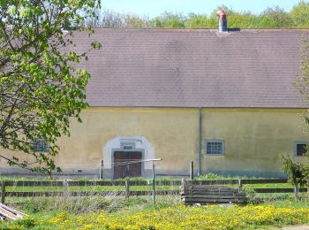
![Excursión A pie Gemeinde Bad Vöslau - Lindenberg -Rottenkreuz -Haidlhof - Photo](https://media.geolcdn.com/t/350/260/b5f16ee1-8fd7-49ea-98e8-40e0c899cecc.jpeg&format=jpg&maxdim=2)
![A pie A pie](https://static1.geolcdn.com/sitytour/trail-icons/100.png)
Km
A pie
![](/images/other/stat-length.png)
![](https://static1.geolcdn.com/siteimages/upload/files/1508320355ic_sort_den_pos_24dp.png)
![](https://static1.geolcdn.com/siteimages/upload/files/1508320355ic_sort_den_neg_24dp.png)
![](https://static1.geolcdn.com/siteimages/upload/files/16400158638029165_repeat_loop_refresh_sync_direction_icon.png)
• Trail created by ÖTK Österreichischer Touristenklub Sektion Baden.
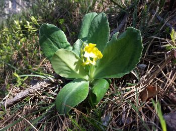
![Excursión A pie Gemeinde Bad Vöslau - Waldandacht -Manhartsberg - Vöslauer Hütte - Photo](https://media.geolcdn.com/t/350/260/9e9e7942-699a-4508-b2d6-e5f8e665eaab.jpeg&format=jpg&maxdim=2)
![A pie A pie](https://static1.geolcdn.com/sitytour/trail-icons/100.png)
Km
A pie
![](/images/other/stat-length.png)
![](https://static1.geolcdn.com/siteimages/upload/files/1508320355ic_sort_den_pos_24dp.png)
![](https://static1.geolcdn.com/siteimages/upload/files/1508320355ic_sort_den_neg_24dp.png)
![](https://static1.geolcdn.com/siteimages/upload/files/16400158638029165_repeat_loop_refresh_sync_direction_icon.png)
• Trail created by ÖTK Österreichischer Touristenklub, Sektion Baden. Symbol: gelber, waagerechter Balken
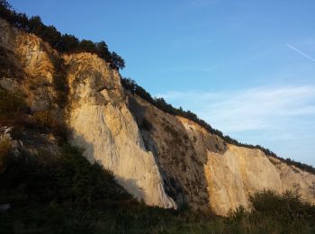
![Excursión A pie Gemeinde Bad Vöslau - TVN Rundwanderweg Vöslauer Hütte - Photo](https://media.geolcdn.com/t/350/260/1e3245db-2f2a-4d11-b406-d62efe4665f9.jpeg&format=jpg&maxdim=2)
![A pie A pie](https://static1.geolcdn.com/sitytour/trail-icons/100.png)
Km
A pie
![](/images/other/stat-length.png)
![](https://static1.geolcdn.com/siteimages/upload/files/1508320355ic_sort_den_pos_24dp.png)
![](https://static1.geolcdn.com/siteimages/upload/files/1508320355ic_sort_den_neg_24dp.png)
![](https://static1.geolcdn.com/siteimages/upload/files/16400158638029165_repeat_loop_refresh_sync_direction_icon.png)
• Trail created by Naturfreunde. Symbol: blau und gelb waagerecht
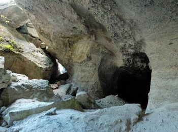
![Excursión A pie Gemeinde Bad Vöslau - Gainfarn - Vöslauer Hütte - Photo](https://media.geolcdn.com/t/350/260/3a45fc2e-0700-4e08-8a16-da1edb62d9b7.jpeg&format=jpg&maxdim=2)
![A pie A pie](https://static1.geolcdn.com/sitytour/trail-icons/100.png)
Km
A pie
![](/images/other/stat-length.png)
![](https://static1.geolcdn.com/siteimages/upload/files/1508320355ic_sort_den_pos_24dp.png)
![](https://static1.geolcdn.com/siteimages/upload/files/1508320355ic_sort_den_neg_24dp.png)
![](https://static1.geolcdn.com/siteimages/upload/files/16400158638029165_repeat_loop_refresh_sync_direction_icon.png)
• Trail created by ÖTK - Österreichischer Touristenklub. Symbol: grüner, waagrechter Balken
13 excursiones mostradas en 13
Aplicación GPS de excursión GRATIS