


9 km | 10,7 km-effort
Sankt Michael im Lungau: Descubra las mejores excursiones: 11 a pie. Todos estos circuitos, recorridos, itinerarios y actividades al aire libre están disponibles en nuestras aplicaciones SityTrail para smartphone y tablet.
A pie


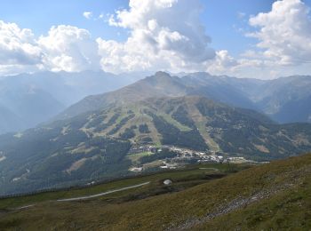
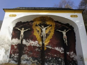
• Trail created by TVB St. Michael im Lungau. Symbol: rot-weiß-rot 91
A pie
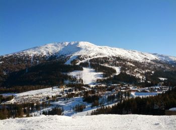
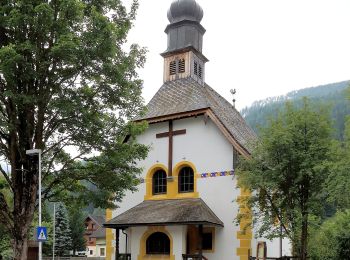
• Trail created by TVB St. Michael im Lungau. Symbol: rot-weiß-rot 91
A pie
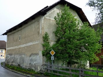
• Trail created by TVB St. Michael im Lungau. Symbol: rot-weiß-rot 91
A pie
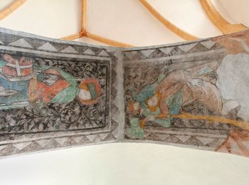
• Trail created by TVB St. Michael im Lungau. Symbol: rot-weiß-rot 91
A pie
• Trail created by TVB St. Michael im Lungau. Symbol: rot-weiß-rot 91
A pie
• Trail created by TVB St. Michael im Lungau. Symbol: rot-weiß-rot 91
A pie
• Trail created by TVB St. Michael im Lungau. Symbol: rot-weiß-rot 91
A pie
• Trail created by TVB St. Michael im Lungau. Symbol: rot-weiß-rot 95
A pie
• Trail created by TVB St. Michael im Lungau. Symbol: rot-weiß-rot 96
A pie
• Trail created by TVB St. Michael im Lungau. Symbol: rot-weiß-rot 92
A pie
• Trail created by TVB St. Michael im Lungau. Symbol: rot-weiß-rot 55
11 excursiones mostradas en 11
Aplicación GPS de excursión GRATIS
 SityTrail
IGN / Institutos geográficos
SityTrail World
El mundo es suyo