


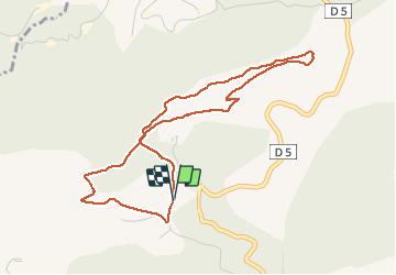


15,2 km | 22 km-effort

Benutzer


Kostenlosegpshiking-Anwendung
 SityTrail
IGN / Geografische Institute
SityTrail World
Die Welt öffnet sich für Sie
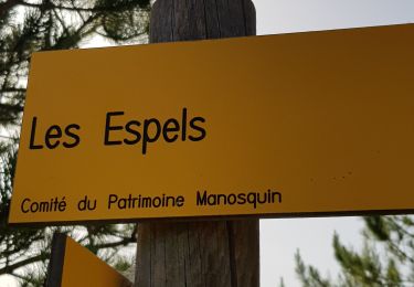
Tour Wandern von 4,7 km verfügbar auf Provence-Alpes-Côte d'Azur, Alpes-de-Haute-Provence, Manosque. Diese Tour wird von liocol vorgeschlagen.
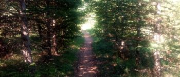
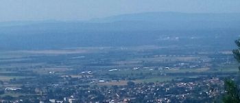
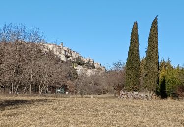
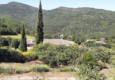
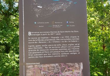
Une boucle en forêt avec de belles vues côté Lubéron et côté Manosque. Avec une jolie allée de cèdres, voir photo. Garez vous le long du chemin du Val des chats, Emplacement pour 4 voitures.


Wandern

Wandern

Wandern
Wandern
Wandern
Wandern
Wandern
Wandern
Wandern