


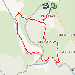

6,8 km | 9,3 km-effort


Benutzer


Kostenlosegpshiking-Anwendung
 SityTrail
IGN / Geografische Institute
SityTrail World
Die Welt öffnet sich für Sie
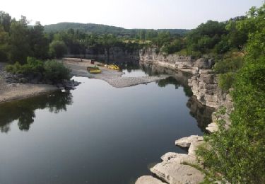
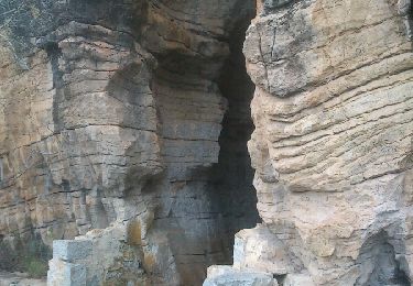
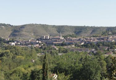
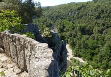
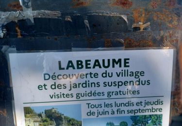
Tour Wandern von 10,3 km verfügbar auf Auvergne-Rhone-Alpen, Ardèche, Labeaume. Diese Tour wird von Bobol vorgeschlagen.
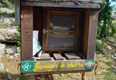
Prévoir de bonnes chaussures, une descente et une partie de la montée difficiles.
A voir la maison Unal (maison "bulles").
Wandern
Wandern

Nordic Walking
Wandern
Wandern
Wandern
Wandern
Laufen
Wandern
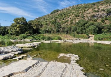
Super randonnée sans difficultés