
Buhy/ Le Vaumion

cchantal95
Benutzer

Länge
11,9 km

Maximale Höhe
161 m

Positive Höhendifferenz
159 m

Km-Effort
14 km

Min. Höhe
91 m

Negative Höhendifferenz
158 m
Boucle
Ja
Erstellungsdatum :
2019-04-24 11:26:39.629
Letzte Änderung :
2019-04-24 11:26:39.751
2h30
Schwierigkeit : Medium

Kostenlosegpshiking-Anwendung
Über SityTrail
Tour Wandern von 11,9 km verfügbar auf Île-de-France, Val-d'Oise, Buhy. Diese Tour wird von cchantal95 vorgeschlagen.
Beschreibung
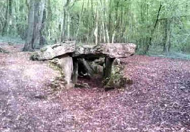
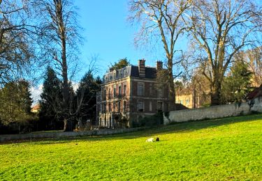
Départ de Buhy, en direction de la Chapelle, le bois Haranger, Le Vaumion, retour par Copierres et son Allée Couverte.
Ort
Land:
France
Region :
Île-de-France
Abteilung/Provinz :
Val-d'Oise
Kommune :
Buhy
Standort:
Unknown
Gehen Sie:(Dec)
Gehen Sie:(UTM)
404739 ; 5449769 (31U) N.
Kommentare
Touren in der Umgebung

Château sur Epte - Berthenonville


Wandern
Einfach
(1)
Château-sur-Epte,
Normandie,
Eure,
France

7,8 km | 9,5 km-effort
2h 7min
Ja

Château sur Epte - Rollon Nord


Wandern
Einfach
(1)
Château-sur-Epte,
Normandie,
Eure,
France

8,4 km | 10,2 km-effort
2h 2min
Ja

Vaudancourt - Breuil et Boury


Wandern
Einfach
(1)
Vaudancourt,
Nordfrankreich,
Oise,
France

11,8 km | 14,3 km-effort
3h 5min
Ja

De Buchet à Magny en Vexin


Wandern
Medium
Buhy,
Île-de-France,
Val-d'Oise,
France

25 km | 29 km-effort
5h 3min
Nein

Château sur Epte variante par pierre tournante


Wandern
Einfach
(1)
Vexin-sur-Epte,
Normandie,
Eure,
France

9,8 km | 12,1 km-effort
2h 30min
Ja

MN 57 Authevernes


Nordic Walking
Einfach
(3)
Authevernes,
Normandie,
Eure,
France

8,5 km | 10,1 km-effort
1h 30min
Ja

la chapelle en vexin


Wandern
Medium
(1)
La Chapelle-en-Vexin,
Île-de-France,
Val-d'Oise,
France

13,9 km | 16,9 km-effort
3h 35min
Ja

Gisancourt - Notre Dame du Chêne


Wandern
Einfach
(2)
Guerny,
Normandie,
Eure,
France

11,6 km | 13,9 km-effort
3h 2min
Ja

Parnes - La ferme Chaudry


Wandern
Einfach
(2)
Parnes,
Nordfrankreich,
Oise,
France

10,4 km | 13 km-effort
2h 49min
Ja


 SityTrail


tres agreable