54 km | 60 km-effort
tour Granville j2
thierrytm
Benutzer
Länge
29 km
Maximale Höhe
61 m
Positive Höhendifferenz
226 m
Km-Effort
32 km
Min. Höhe
0 m
Negative Höhendifferenz
211 m
Boucle
Nein
Erstellungsdatum :
2018-06-26 13:26:48.665
Letzte Änderung :
2018-06-26 13:26:48.665
6h10
Schwierigkeit : Medium
Kostenlosegpshiking-Anwendung
Über SityTrail
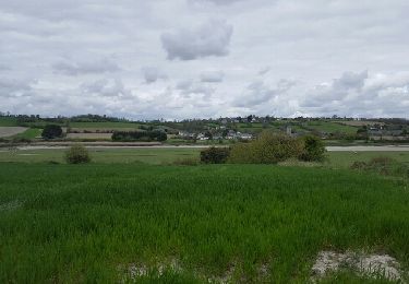
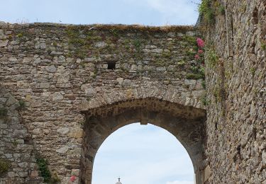
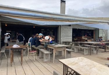
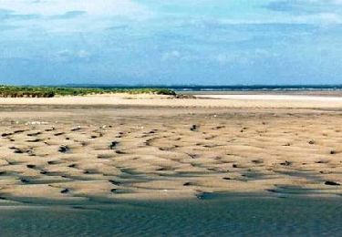
Tour Wandern von 29 km verfügbar auf Normandie, Manche, Regnéville-sur-Mer. Diese Tour wird von thierrytm vorgeschlagen.
Ort
Land:
France
Region :
Normandie
Abteilung/Provinz :
Manche
Kommune :
Regnéville-sur-Mer
Standort:
Unknown
Gehen Sie:(Dec)
Gehen Sie:(UTM)
608441 ; 5431246 (30U) N.
Kommentare
Touren in der Umgebung
Entre Dunes et havre du bout du monde
Mountainbike
Schwierig
(1)
Hauteville-sur-Mer,
Normandie,
Manche,
France
6h 0min
Ja
Regneville sur mer
Wandern
Medium
(1)
Regnéville-sur-Mer,
Normandie,
Manche,
France
11,5 km | 12,4 km-effort
3h 3min
Ja
Le Havre de la Sienne
Wandern
Einfach
(1)
Regnéville-sur-Mer,
Normandie,
Manche,
France
10,1 km | 11,1 km-effort
Unbekannt
Ja
30 Km de VTT sur la côte - Montmartin sur Mer
Mountainbike
Medium
(3)
Montmartin-sur-Mer,
Normandie,
Manche,
France
29 km | 33 km-effort
2h 0min
Nein
Regnéville 50
Wandern
Medium
Regnéville-sur-Mer,
Normandie,
Manche,
France
9,6 km | 11 km-effort
2h 42min
Nein
havre de Regneville
Wandern
Sehr leicht
(1)
Regnéville-sur-Mer,
Normandie,
Manche,
France
12,5 km | 0 m-effort
3h 25min
Ja
Monchaton
Nordic Walking
Einfach
(1)
Orval-sur-Sienne,
Normandie,
Manche,
France
11,2 km | 12,6 km-effort
2h 18min
Ja
Chemin de l’huître
Wandern
Einfach
Blainville-sur-Mer,
Normandie,
Manche,
France
11 km | 11,7 km-effort
3h 23min
Ja
Sentier littoral
Zu Fuß
Einfach
Agon-Coutainville,
Normandie,
Manche,
France
10,4 km | 11 km-effort
2h 30min
Nein