![](/images/other/stat-length.png)
![Tour Andere Aktivitäten Saint-Laurent-sous-Coiron - proj_Chante Épine Roche de Luchon - Photo](https://media.geolcdn.com/t/1900/400/ext.pjpeg?maxdim=2&url=https%3A%2F%2Fservices.sitytrail.com%2FGeolivesWS%2FDownloadMedia.ashx%3FTrailID%3D959759%26Media%3Dfix__20140314144723.jpg)
proj_Chante Épine Roche de Luchon
pb07
Benutzer
![Länge](/images/other/stat-length.png)
![Maximale Höhe](https://static1.geolcdn.com/siteimages/upload/files/1508320355ic_sort_altitude_max_24dp.png)
![Positive Höhendifferenz](https://static1.geolcdn.com/siteimages/upload/files/1508320355ic_sort_den_pos_24dp.png)
![Km-Effort](/images/other/stat-length.png)
![Min. Höhe](https://static1.geolcdn.com/siteimages/upload/files/1508320355ic_sort_altitude_min_24dp.png)
![Negative Höhendifferenz](https://static1.geolcdn.com/siteimages/upload/files/1508320355ic_sort_den_neg_24dp.png)
![Boucle](https://static1.geolcdn.com/siteimages/upload/files/16400158638029165_repeat_loop_refresh_sync_direction_icon.png)
![Andere Aktivitäten](https://static1.geolcdn.com/sitytour/trail-icons/900.png)
3h37
Schwierigkeit : Medium
![Scannen Sie diesen QR-Code, um die Tour in der SityTrail-Anwendung zu öffnen](https://capi.geolives.com/qq0zvz2zws4bq2lad0pu/sitytour/trails/959759/qr.png?size=200)
Kostenlosegpshiking-Anwendung
Über SityTrail
Tour Andere Aktivitäten von 12,6 km verfügbar auf Auvergne-Rhone-Alpen, Ardèche, Saint-Laurent-sous-Coiron. Diese Tour wird von pb07 vorgeschlagen.
Beschreibung
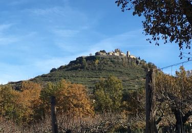
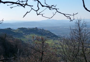
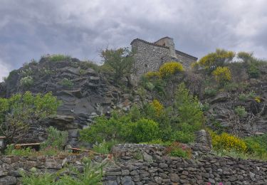
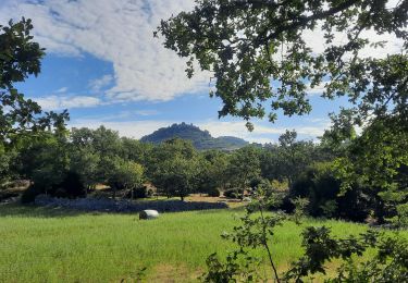
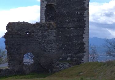
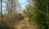
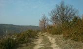
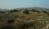
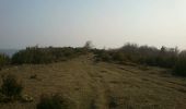
Randonnée sur le rebord du Coiron. Contraste entre la crête calcaire de Chante Epine et la crête basaltique entre la Roche de Luchon et St Laurent Sous Coiron.
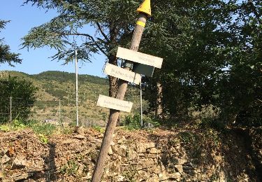
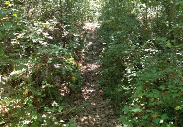
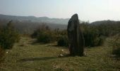
Itinéraire suivant en partie les indication du circuit préhistorique de St Laurent sous Coiron. Pas toujours balisé mais bornes aux croisements principaux ou aux points d'intérêt (Dolmen du Devès du Serre, menhir de Peyregrosse). Attention cependant, un peu avant La Combe (repère 1) le chemin est barré. Au niveau des Cros (repère 2) il faut donc couper à travers les prés pour rejoindre la route au dessus.
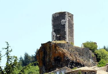
L'accès à la Roche de Luchon se fait à la limite du versant ouest de la crête, au débouché du chemin descendant sur Vernets. Les autres côtés sont impraticables à cause des buis.
Descente en dessous de St Laurent par un chemin puis à travers le pré, puis sur la route.
Ort
Kommentare
Touren in der Umgebung
![Tour Wandern Saint-Laurent-sous-Coiron - SityTrail - 2460537 - st-laurent - Photo](https://media.geolcdn.com/t/375/260/248a6b55-9b40-4f3e-9231-07b72c1a2693.jpg&format=jpg&maxdim=2)
![Wandern Wandern](https://static1.geolcdn.com/sitytour/trail-icons/101.png)
Wandern
![](/images/other/stat-length.png)
![](https://static1.geolcdn.com/siteimages/upload/files/16400158638029165_repeat_loop_refresh_sync_direction_icon.png)
![Tour Wandern Vesseaux - Vesseaux - Photo](https://media.geolcdn.com/t/375/260/ext.jpg?maxdim=2&url=https%3A%2F%2Fservices.sitytrail.com%2FGeolivesWS%2FDownloadMedia.ashx%3FTrailID%3D442802%26Media%3D20150708175142.jpg)
![Wandern Wandern](https://static1.geolcdn.com/sitytour/trail-icons/101.png)
Wandern
![](/images/other/stat-length.png)
![](https://static1.geolcdn.com/siteimages/upload/files/16400158638029165_repeat_loop_refresh_sync_direction_icon.png)
![Wandern Wandern](https://static1.geolcdn.com/sitytour/trail-icons/101.png)
Wandern
![](/images/other/stat-length.png)
![](https://static1.geolcdn.com/siteimages/upload/files/16400158638029165_repeat_loop_refresh_sync_direction_icon.png)
![Wandern Wandern](https://static1.geolcdn.com/sitytour/trail-icons/101.png)
Wandern
![](/images/other/stat-length.png)
![](https://static1.geolcdn.com/siteimages/upload/files/16400158638029165_repeat_loop_refresh_sync_direction_icon.png)
![Tour Wandern Mirabel - 2025-01-25_15h34m21_SityTrail - 3633141 - mirabel-11km-den367m- - Photo](https://media.geolcdn.com/t/375/260/e7aad9c3-6c53-4829-ad7f-8298786bbba5.jpg&format=jpg&maxdim=2)
![Wandern Wandern](https://static1.geolcdn.com/sitytour/trail-icons/101.png)
Wandern
![](/images/other/stat-length.png)
![](https://static1.geolcdn.com/siteimages/upload/files/16400158638029165_repeat_loop_refresh_sync_direction_icon.png)
![Tour Wandern Saint-Laurent-sous-Coiron - St-Laurent sous-Coiron](https://media.geolcdn.com/t/375/260/af45344e-33a5-4544-8743-643b0c5ac849.jpg&format=jpg&maxdim=2)
![Wandern Wandern](https://static1.geolcdn.com/sitytour/trail-icons/101.png)
Wandern
![](/images/other/stat-length.png)
![](https://static1.geolcdn.com/siteimages/upload/files/16400158638029165_repeat_loop_refresh_sync_direction_icon.png)
![Tour Wandern Lussas - 07 loutre gorges 09.07.2033 - Photo](https://media.geolcdn.com/t/375/260/b383ddff-373b-408a-8d2a-0f2891f1c4a5.jpg&format=jpg&maxdim=2)
![Wandern Wandern](https://static1.geolcdn.com/sitytour/trail-icons/101.png)
Wandern
![](/images/other/stat-length.png)
![](https://static1.geolcdn.com/siteimages/upload/files/16400158638029165_repeat_loop_refresh_sync_direction_icon.png)
![Tour Wandern Saint-Laurent-sous-Coiron - St Laurent sous Coiron La Louyre 19km - Photo](https://media.geolcdn.com/t/375/260/612250e6-8070-48f5-a522-aa1665a3802f.jpg&format=jpg&maxdim=2)
![Wandern Wandern](https://static1.geolcdn.com/sitytour/trail-icons/101.png)
Wandern
![](/images/other/stat-length.png)
![](https://static1.geolcdn.com/siteimages/upload/files/16400158638029165_repeat_loop_refresh_sync_direction_icon.png)
![Tour Wandern Mirabel - 07 mirabel - Photo](https://media.geolcdn.com/t/375/260/915b720a-5cae-485d-9914-36e4a159eaad.jpg&format=jpg&maxdim=2)
![Wandern Wandern](https://static1.geolcdn.com/sitytour/trail-icons/101.png)
Wandern
![](/images/other/stat-length.png)
![](https://static1.geolcdn.com/siteimages/upload/files/16400158638029165_repeat_loop_refresh_sync_direction_icon.png)