


18,5 km | 22 km-effort


Benutzer


Kostenlosegpshiking-Anwendung
 SityTrail
IGN / Geografische Institute
SityTrail World
Die Welt öffnet sich für Sie
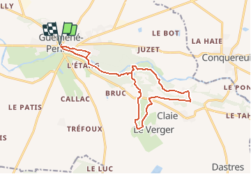
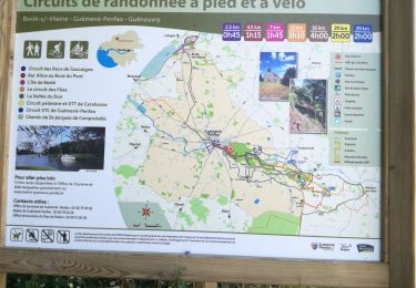
Tour Wandern von 16,1 km verfügbar auf Pays de la Loire, Loire-Atlantique, Guémené-Penfao. Diese Tour wird von smu44 vorgeschlagen.
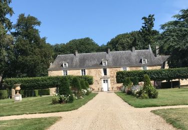
Au cœur d’une vallée verdoyante, la rivière du Don s’est frayée un chemin et vous accompagne tout au long de cette randonnée. La vallée dévoile peu à peu tous ses atouts : un spectacle paysager, des rochers renfermant des légendes étonnantes, le château de Juzet et la chapelle St Georges. Ce circuit comporte quelques passages délicats : une descente escarpée après la piscine et un escalier de bois raide pour grimper au sommet de la crête.

Wandern

Wandern

Wandern
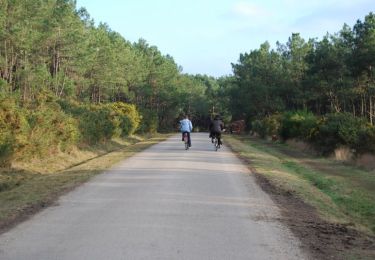
Wandern

Wandern

Wandern
Wandern
Wandern
Wandern