


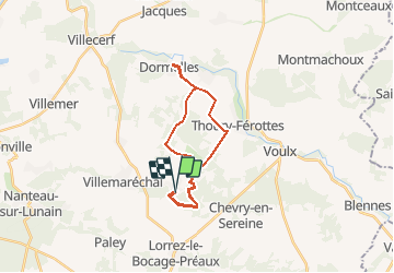

22 km | 25 km-effort


Benutzer


Kostenlosegpshiking-Anwendung
 SityTrail
IGN / Geografische Institute
SityTrail World
Die Welt öffnet sich für Sie
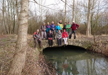
Tour Andere Aktivitäten von 22 km verfügbar auf Île-de-France, Seine-et-Marne, Villemaréchal. Diese Tour wird von MarcheEtReve vorgeschlagen.
avec déplacement des voitures.
2 options :<br>
- Pierre Cornoise => 11 km<br>
- Forêt la Reine => 11 km<br>
=> IDEM !

Wandern
Zu Fuß
Zu Fuß
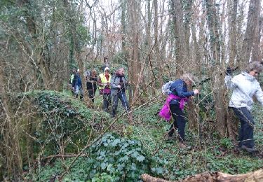
Wandern
Wandern
Wandern
Mountainbike
Wandern


sport