


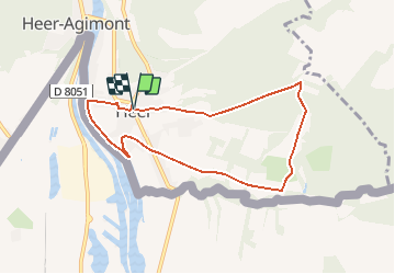


8 km | 9,4 km-effort


Benutzer


Kostenlosegpshiking-Anwendung
 SityTrail
IGN / Geografische Institute
SityTrail World
Die Welt öffnet sich für Sie
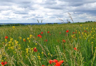
Tour Wandern von 6,9 km verfügbar auf Wallonien, Namur, Hastière. Diese Tour wird von ValleedelaMeuse vorgeschlagen.
Extrait de la carte des promenades pédestres sur fond IGN au 1/25.000e éditée par l'O.T. Hastière, reprenant 23 circuits balisés avec descriptif complet bilingue au verso. Carte en vente à l'O.T. Hastière et à la Maison du Tourisme au prix de 7,- euros. Infos sur www.hastiere-tourisme.be

Wandern

Wandern

Wandern

Wandern

Wandern
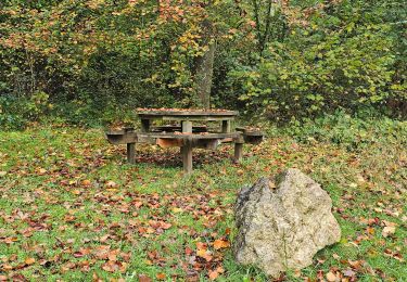
Wandern
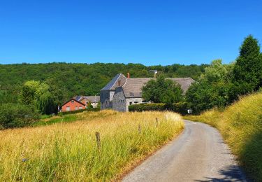
Wandern
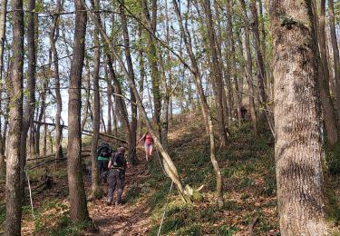
Wandern
Wandern