


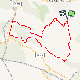

16,3 km | 21 km-effort

Benutzer


Kostenlosegpshiking-Anwendung
 SityTrail
IGN / Geografische Institute
SityTrail World
Die Welt öffnet sich für Sie
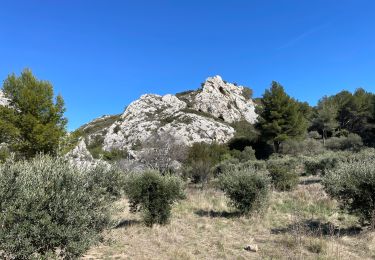
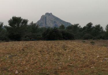
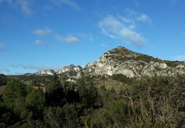
Tour Wandern von 10,7 km verfügbar auf Provence-Alpes-Côte d'Azur, Bouches-du-Rhône, Eygalières. Diese Tour wird von SabetMick vorgeschlagen.
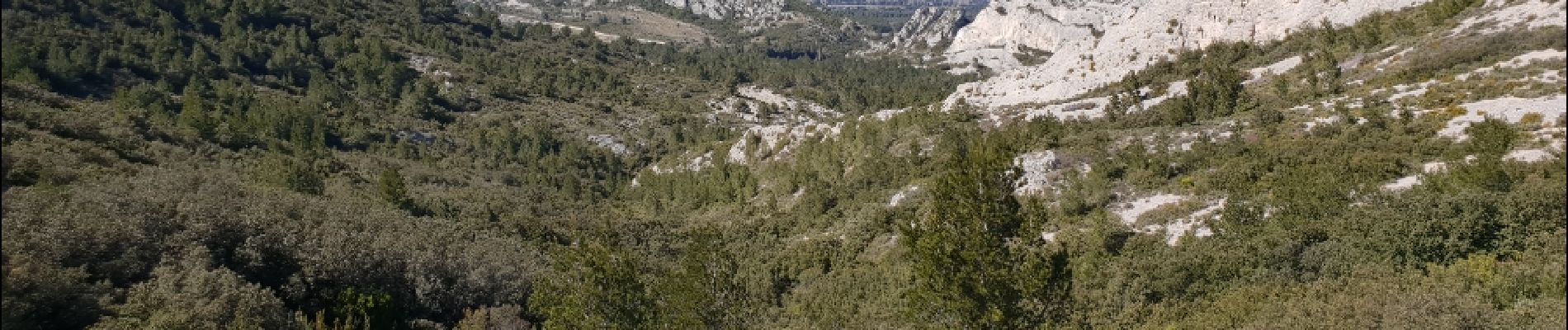
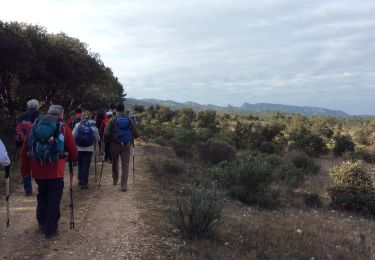
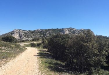
Ballade familliale improvisée au départ d'Eygaliere et au travers de gros Calan. Tres agréable rando avec passage par de petits sentiers au travers des montagne et retour par les DFCI.


Wandern

Wandern

Wandern
Wandern
Wandern
Wandern
Wandern
Wandern
Wandern