


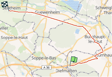

22 km | 27 km-effort


Benutzer


Kostenlosegpshiking-Anwendung
 SityTrail
IGN / Geografische Institute
SityTrail World
Die Welt öffnet sich für Sie
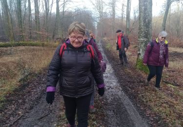
Tour Wandern von 13,2 km verfügbar auf Großer Osten, Oberelsass, Niederburnhaupt. Diese Tour wird von helmut68 vorgeschlagen.
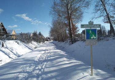
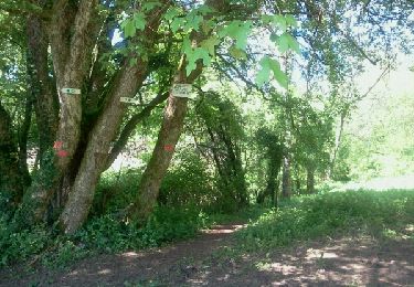
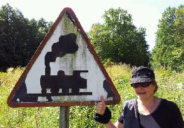
Suite du parcours GR531( Sentheim Diefmaten) pour revenir à Sentheim. On longe un peu l'autoroute pour arriver à Burnhaupt le Haut puis continuer par la piste cyclable jusqu'à Sentheim.
Wandern
Wandern
Wandern
Wintersport
Wandern
Fahrrad
Wandern
Wandern
Wandern