


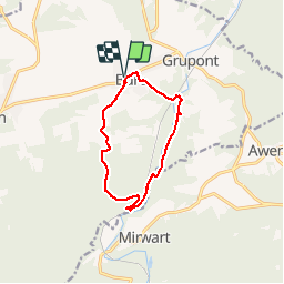


9,6 km | 11,9 km-effort

Benutzer GUIDE


Kostenlosegpshiking-Anwendung
 SityTrail
IGN / Geografische Institute
SityTrail World
Die Welt öffnet sich für Sie
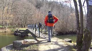
Tour Wandern von 9,6 km verfügbar auf Wallonien, Luxemburg, Tellin. Diese Tour wird von Desrumaux vorgeschlagen.
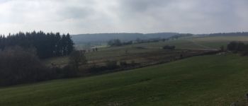
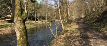
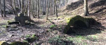
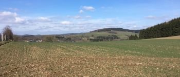
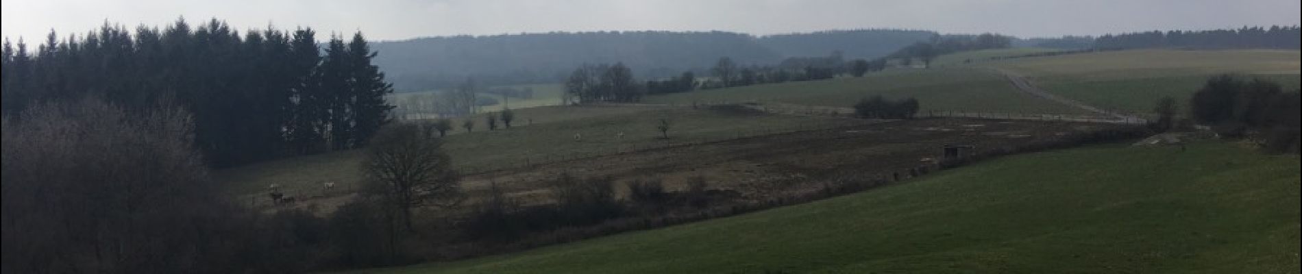
Très jolie balade en province du Luxembourg dans la belle entité de Tellin au départ du village de Bure.
De Bure au pont de clôye suivre le balisage triangle rouge, du pont de clôye à Bure suivre le balisage rectangle vert.


Wandern

Wandern

Wandern

Wandern

Wandern

Wandern
Wandern

Wandern

Wandern