


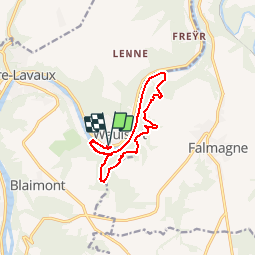


19,3 km | 26 km-effort

Benutzer GUIDE


Kostenlosegpshiking-Anwendung
 SityTrail
IGN / Geografische Institute
SityTrail World
Die Welt öffnet sich für Sie
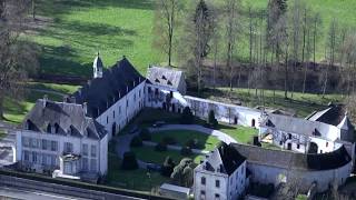
Tour Wandern von 10,9 km verfügbar auf Wallonien, Namur, Hastière. Diese Tour wird von Desrumaux vorgeschlagen.
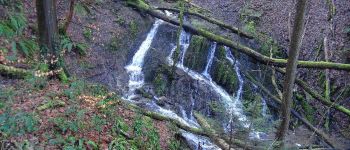
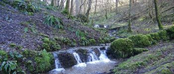
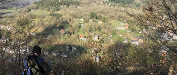
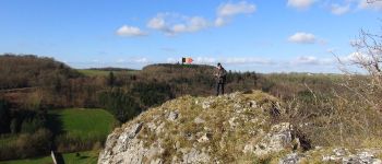
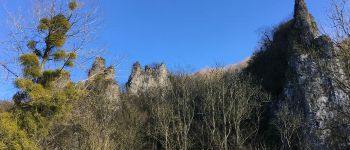
Cette jolie balade au départ de l'écluse de Waulsort vous fera découvrir les cascatelles ainsi que le sentier des crêtes et ses points de vue sur le village de Waulsort.
De Pâques à septembre, le départ et le retour de la balade est possible via le passage d'eau.


Wandern

Wandern

Wandern

Wandern

Wandern

Wandern

Wandern

Wandern

magnifique rando , point de vue et cascades agremente ce parcours pas tjs facile , à faire sur terrain sec .