


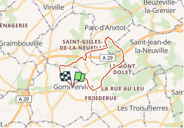

19,6 km | 22 km-effort


Benutzer


Kostenlosegpshiking-Anwendung
 SityTrail
IGN / Geografische Institute
SityTrail World
Die Welt öffnet sich für Sie
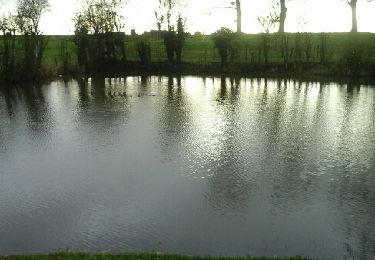
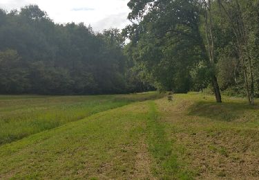
Tour Wandern von 10,5 km verfügbar auf Normandie, Seine-Maritime, Gommerville. Diese Tour wird von MarcherEnsemble vorgeschlagen.
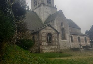
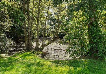
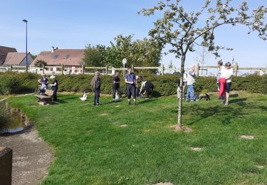
Départ du parking de la mairie, passage devant le cimetière animalier, le bois de la marnière, Parc d'Anxtot, le calvaire de St Gilles de la Neuville et Gommerville

Wandern
Wandern
Wandern
Wandern
Wandern
Wandern
Wandern
Wandern
Wandern