


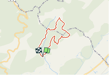


15,2 km | 22 km-effort

Benutzer


Kostenlosegpshiking-Anwendung
 SityTrail
IGN / Geografische Institute
SityTrail World
Die Welt öffnet sich für Sie
Tour Wandern von 6,7 km verfügbar auf Provence-Alpes-Côte d'Azur, Alpes-de-Haute-Provence, Manosque. Diese Tour wird von liocol vorgeschlagen.
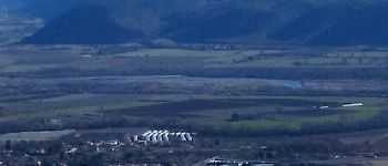
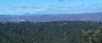
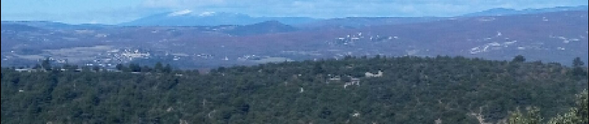
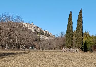
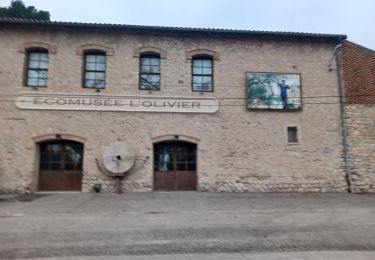
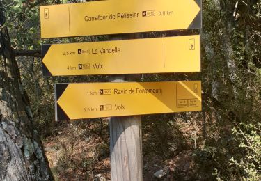
Garez-vous sur le nouveau Parking de Gaude. Boucle autour de la colline avec de belles vues, comme le Ventoux.


Wandern

Wandern
Wandern

Mountainbike

Wandern
Wandern
Wandern
Wandern
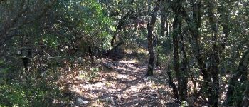
Pfad