


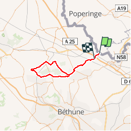

9,7 km | 11,4 km-effort


Benutzer


Kostenlosegpshiking-Anwendung
 SityTrail
IGN / Geografische Institute
SityTrail World
Die Welt öffnet sich für Sie
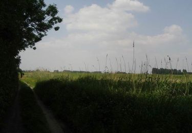
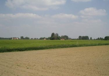
Tour Fahrrad von 67 km verfügbar auf Nordfrankreich, Nord, Bailleul. Diese Tour wird von Domi1953 vorgeschlagen.
Le Seau - Steenwerck -Le Doulieu - Neuf Berquin - Merville - Haverskerque - Thiennes - Boëseghem - Steenbecque -Morbecque - Motte au Bois - Caudescure - Merville -

Zu Fuß

Motor

Wandern

Wandern
Wandern
Wandern
Wandern
Wandern