


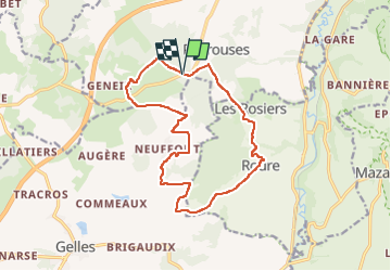

10 km | 13,4 km-effort

Benutzer GUIDE


Kostenlosegpshiking-Anwendung
 SityTrail
IGN / Geografische Institute
SityTrail World
Die Welt öffnet sich für Sie
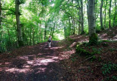
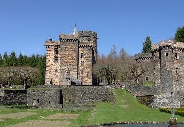
Tour Wandern von 15 km verfügbar auf Auvergne-Rhone-Alpen, Puy-de-Dôme, Bromont-Lamothe. Diese Tour wird von jagarnier vorgeschlagen.
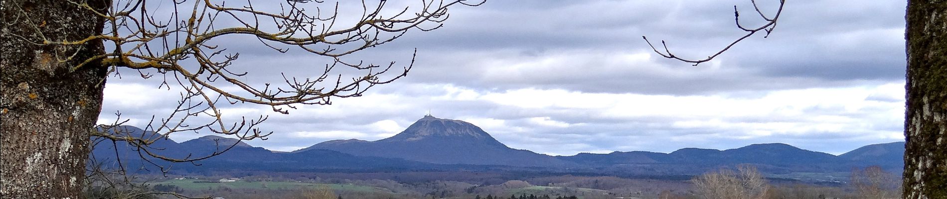
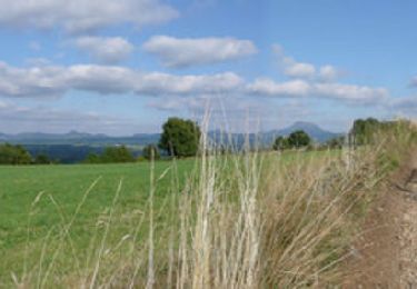
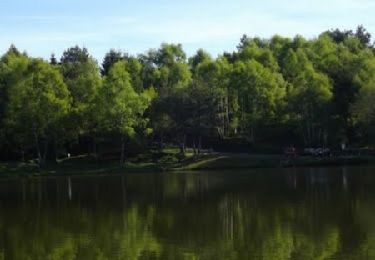
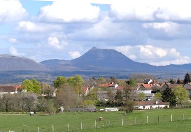
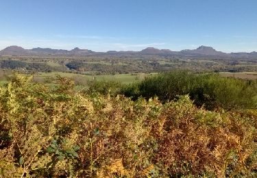
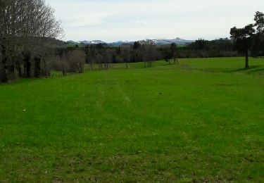
Du cœur de la petite chaîne des Puys, vous verrez le Sancy et le Monts Dôme. Vous pourrez rêver au bord de l'étang de la Faye en vous coyant arrivé dans les Landes.

Wandern
Wandern
Mountainbike
Wandern
Wandern
Wandern
Wandern

Wandern
Wandern