


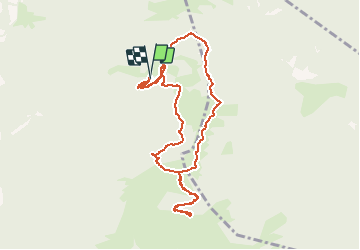

7,2 km | 15 km-effort


Benutzer


Kostenlosegpshiking-Anwendung
 SityTrail
IGN / Geografische Institute
SityTrail World
Die Welt öffnet sich für Sie
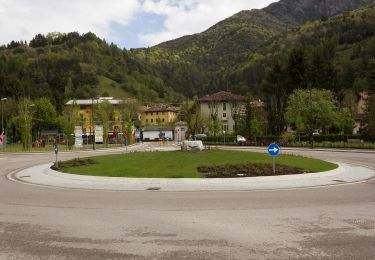
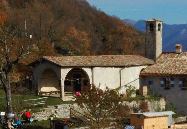
Tour Wandern von 9,4 km verfügbar auf Trentino-Südtirol, Provincia di Trento, Ledro. Diese Tour wird von Dhendrickx71 vorgeschlagen.
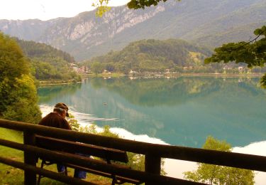
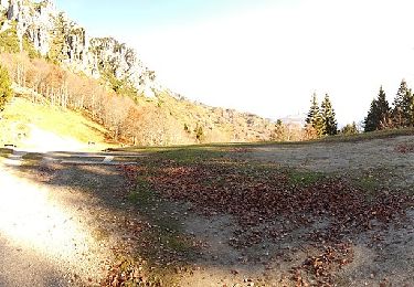
Take the forest path from the car park under the Malga Trat to the Malga. Then follow the path nr. 403 to the Nino Pernici refuge. From there follow the path nr. 413 (Trail of Peace) to Bocca Saval. Go up until you see the Malga below. Turn left on the cow trail to Cima Pari.After a breathtaking view of the Ledro valley and its lake from the top of Cima Pari (approx. 2000m above sea level) take the same path back down to Bocca Saval. Take a little visit to the Malga. Otherwise once at the Bocca Saval go up the path in front of you to Dos di Trat. Once you reach the top, go back up and follow the path of the cows towards Malga Trat and the car park.
Zu Fuß
Zu Fuß
Zu Fuß
Zu Fuß
Zu Fuß
Zu Fuß
Zu Fuß
Zu Fuß

Mountainbike