![](/images/other/stat-length.png)
![Tour Wandern Vieux-Moulin - en forêt de Compiègne_8_Mont Collet_Mont St-Mard_RP de l'Armistice - Photo](https://media.geolcdn.com/t/1900/400/ext.pjpeg?maxdim=2&url=https%3A%2F%2Fservices.sitytrail.com%2FGeolivesWS%2FDownloadMedia.ashx%3FTrailID%3D867927%26Media%3D20171126123331.jpg)
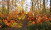
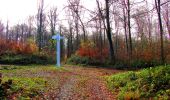
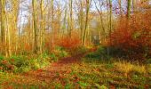
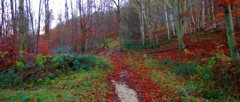
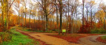
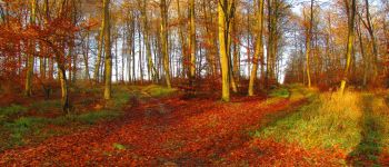
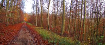
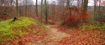
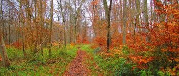
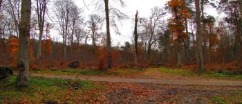
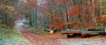
en forêt de Compiègne_8_Mont Collet_Mont St-Mard_RP de l'Armistice
en forêt de Compiègne
mes randos en forêt
![Länge](/images/other/stat-length.png)
![Maximale Höhe](https://static1.geolcdn.com/siteimages/upload/files/1508320355ic_sort_altitude_max_24dp.png)
![Positive Höhendifferenz](https://static1.geolcdn.com/siteimages/upload/files/1508320355ic_sort_den_pos_24dp.png)
![Km-Effort](/images/other/stat-length.png)
![Min. Höhe](https://static1.geolcdn.com/siteimages/upload/files/1508320355ic_sort_altitude_min_24dp.png)
![Negative Höhendifferenz](https://static1.geolcdn.com/siteimages/upload/files/1508320355ic_sort_den_neg_24dp.png)
![Boucle](https://static1.geolcdn.com/siteimages/upload/files/16400158638029165_repeat_loop_refresh_sync_direction_icon.png)
![Wandern](https://static1.geolcdn.com/sitytour/trail-icons/101.png)
6h52
Schwierigkeit : Sehr schwierig
![Scannen Sie diesen QR-Code, um die Tour in der SityTrail-Anwendung zu öffnen](https://capi.geolives.com/qq0zvz2zws4bq2lad0pu/sitytour/trails/867927/qr.png?size=200)
Kostenlosegpshiking-Anwendung
Über SityTrail
Tour Wandern von 25 km verfügbar auf Nordfrankreich, Oise, Vieux-Moulin. Diese Tour wird von en forêt de Compiègne vorgeschlagen.
Beschreibung
11/ 2017
voir aussi:
http://foret-de-compiegne.over-blog.com/
batterie de recharge pour iphone indispensable.
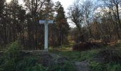
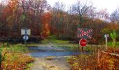
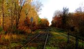
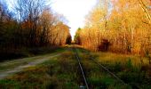
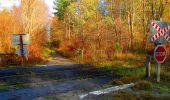
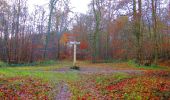
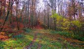
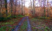
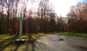
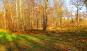
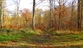
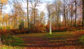
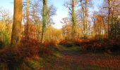
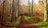
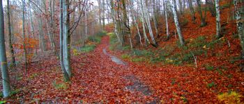
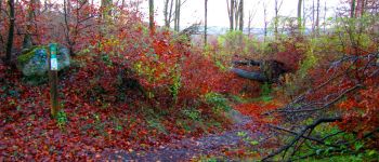
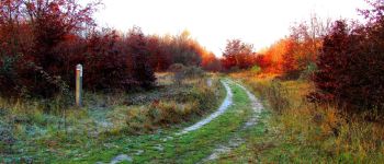
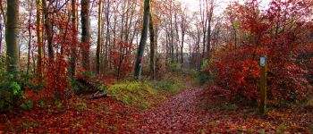
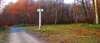
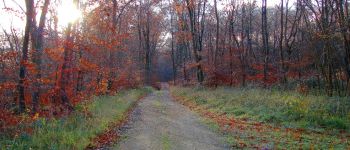
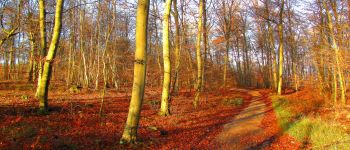
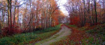
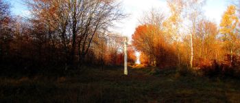
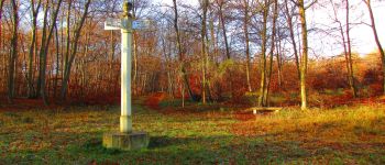
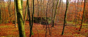
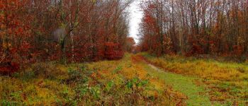
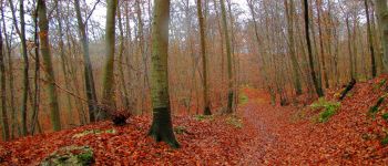
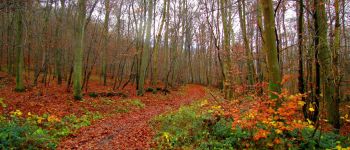
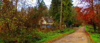
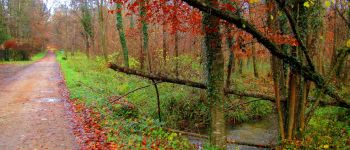
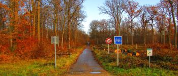
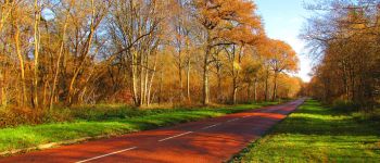
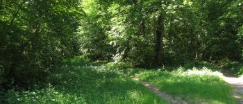
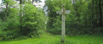
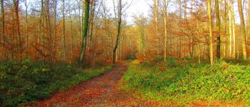
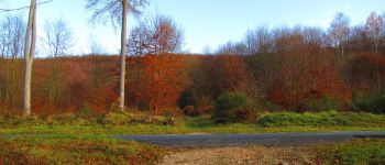
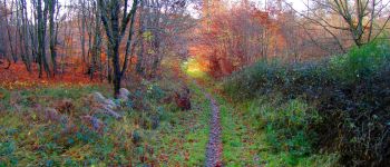
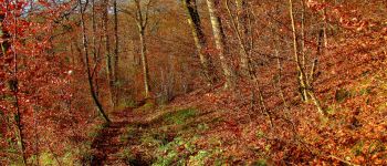
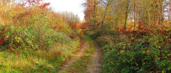
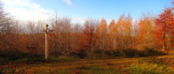
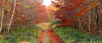
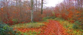
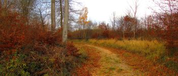
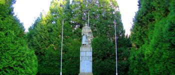
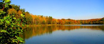
Au départ du parking du carrefour des étangs de Saint-Pierre, prendre la route de la Brèche puis suivre sur la gauche la route tournante sur le Mont Collet jusqu'au carrefour avec la route tournante sur le Mont Saint-Mard. La suivre jusqu'au carrefour du Mont Saint-Mard. Prendre à gauche la route de Courcelles jusqu'au carrefour de Courcelles puis à droite la route de l'Ortille jusqu'au carrefour du Geai. Prendre à droite le chemin jusqu'au carrefour des Carrières. Allez jusqu'à la Pierre Torniche, revenir et suivre la route tournante sur le Mont Saint-Mard jusqu'au carrefour avec la route de la Pierre Qui Tonne. Suivre cette route jusqu'au carrefour avec la route de l'Ermite. La suivre jusqu'à la route des Brioleurs. Traverser cette route et continuer sur la route de l'Ortille jusqu'au carrefour de l'Hermine. Prendre à droite un chemin pour rejoindre la route des Beaux Monts. Traverser la voie ferrée et continuer jusqu'à la route du Maréchal Foch jusqu'au carrefour du Francport. Voir le rond-point de l'Armistice puis continuer à gauche sur la D546 jusqu'aux étangs de Carandeau. Longer sur un sentier entre les deux étangs puis rejoindre l'avenue de l'Armistice (difficile car plus de chemin). Continuer sur cette avenue jusqu'au carrefour de Lucifer. Prendre à gauche la route de l'Ortille jusqu'au carrefour de l'Hermine et suivre à droite la route du Port Carbone jusqu'au carrefour de ce nom. Prendre à gauche un chemin jusqu'au carrefour de l'Ortille puis à droite la route du Pont de Berne jusqu'au carrefour de Bourdelotte. Suivre à gauche le GR12A. Traverser la D547. Suivre un sentier pour rejoindre un carrefour avec la route tournante sur le Mont Saint-Mard (GR12A raté!?). Revenir sur la gauche sur cette tournante pour rejoindre le carrefour de la Descente. Prendre à droite le chemin jusqu'au carrefour de la Fontaine Jean de Limé. Suivre le GR12A jusqu'au carrefour du Requêté. Chercher et trouver à droite la route des Ardennes. La descendre jusqu'au carrefour avec la route de la Fontaine Duriez. Suivre à gauche la route tournante sous le mont Saint-Mard jusqu'au point de départ.
POIs
Ort
Kommentare
Touren in der Umgebung
![Tour Zu Fuß Pierrefonds - Le Voliard - Photo](https://media.geolcdn.com/t/375/260/4781613a-076f-4ad8-be25-8d021ddb8fa3.jpeg&format=jpg&maxdim=2)
![Zu Fuß Zu Fuß](https://static1.geolcdn.com/sitytour/trail-icons/100.png)
Zu Fuß
![](/images/other/stat-length.png)
![](https://static1.geolcdn.com/siteimages/upload/files/16400158638029165_repeat_loop_refresh_sync_direction_icon.png)
![Tour Zu Fuß Saint-Jean-aux-Bois - Promenade du Chêne de Saint-Jean - Photo](https://media.geolcdn.com/t/375/260/660f8de9-0f4a-4545-bfd3-d9c82cefa146.jpeg&format=jpg&maxdim=2)
![Zu Fuß Zu Fuß](https://static1.geolcdn.com/sitytour/trail-icons/100.png)
Zu Fuß
![](/images/other/stat-length.png)
![](https://static1.geolcdn.com/siteimages/upload/files/16400158638029165_repeat_loop_refresh_sync_direction_icon.png)
![Tour Wandern Pierrefonds - Rando couscous ATPC ARVAL 4/2/2024 - Photo](https://media.geolcdn.com/t/375/260/ext.jpg?maxdim=2&url=https%3A%2F%2Fstatic1.geolcdn.com%2Fsiteimages%2Fupload%2Ffiles%2F1553511878bg_sport_marche.png)
![Wandern Wandern](https://static1.geolcdn.com/sitytour/trail-icons/101.png)
Wandern
![](/images/other/stat-length.png)
![](https://static1.geolcdn.com/siteimages/upload/files/16400158638029165_repeat_loop_refresh_sync_direction_icon.png)
![Tour Wandern Saint-Jean-aux-Bois - SAINT JEAN AUX BOIS, le village et les bois - Photo](https://media.geolcdn.com/t/375/260/cbd4d574-4b06-4403-8920-57abc85ecbc5.jpg&format=jpg&maxdim=2)
![Wandern Wandern](https://static1.geolcdn.com/sitytour/trail-icons/101.png)
Wandern
![](/images/other/stat-length.png)
![](https://static1.geolcdn.com/siteimages/upload/files/16400158638029165_repeat_loop_refresh_sync_direction_icon.png)
![Tour Wandern Vieux-Moulin - Rando douce Vieux moulin 14/8/2022 - Photo](https://media.geolcdn.com/t/375/260/ext.jpg?maxdim=2&url=https%3A%2F%2Fstatic1.geolcdn.com%2Fsiteimages%2Fupload%2Ffiles%2F1553511878bg_sport_marche.png)
![Wandern Wandern](https://static1.geolcdn.com/sitytour/trail-icons/101.png)
Wandern
![](/images/other/stat-length.png)
![](https://static1.geolcdn.com/siteimages/upload/files/16400158638029165_repeat_loop_refresh_sync_direction_icon.png)
![Tour Wandern Vieux-Moulin - Gorges du Han - ATPC ARVAL - Photo](https://media.geolcdn.com/t/375/260/ext.jpg?maxdim=2&url=https%3A%2F%2Fstatic1.geolcdn.com%2Fsiteimages%2Fupload%2Ffiles%2F1553511878bg_sport_marche.png)
![Wandern Wandern](https://static1.geolcdn.com/sitytour/trail-icons/101.png)
Wandern
![](/images/other/stat-length.png)
![](https://static1.geolcdn.com/siteimages/upload/files/16400158638029165_repeat_loop_refresh_sync_direction_icon.png)
![Tour Wandern Saint-Jean-aux-Bois - Saint Jean au Bois 13,4 km - Photo](https://media.geolcdn.com/t/375/260/ddfb4125-3dc9-462c-8144-537eda5ffbb6.jpg&format=jpg&maxdim=2)
![Wandern Wandern](https://static1.geolcdn.com/sitytour/trail-icons/101.png)
Wandern
![](/images/other/stat-length.png)
![](https://static1.geolcdn.com/siteimages/upload/files/16400158638029165_repeat_loop_refresh_sync_direction_icon.png)
![Wandern Wandern](https://static1.geolcdn.com/sitytour/trail-icons/101.png)
Wandern
![](/images/other/stat-length.png)
![](https://static1.geolcdn.com/siteimages/upload/files/16400158638029165_repeat_loop_refresh_sync_direction_icon.png)
![Tour Zu Fuß Trosly-Breuil - Le Mont-Collet - Photo](https://media.geolcdn.com/t/375/260/ee705b5e-8f72-4c8f-a8a8-b0b1fed66154.jpeg&format=jpg&maxdim=2)
![Zu Fuß Zu Fuß](https://static1.geolcdn.com/sitytour/trail-icons/100.png)
Zu Fuß
![](/images/other/stat-length.png)
![](https://static1.geolcdn.com/siteimages/upload/files/16400158638029165_repeat_loop_refresh_sync_direction_icon.png)