


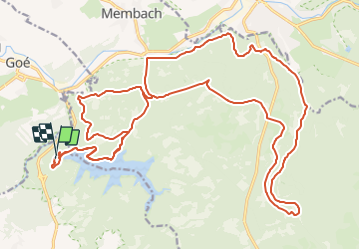

19,9 km | 26 km-effort


Benutzer


Kostenlosegpshiking-Anwendung
 SityTrail
IGN / Geografische Institute
SityTrail World
Die Welt öffnet sich für Sie
Tour Mountainbike von 29 km verfügbar auf Wallonien, Lüttich, Jalhay. Diese Tour wird von francois58 vorgeschlagen.
Du roulant pour le départ (si on veut éviter trop de boue en automne !) ... juste une petite sente à la "Croix Noire" sur le retour !

Wandern

Wandern

Wandern
Wandern

Wandern
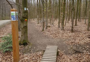
Wandern

Wandern

Wandern

Wandern