


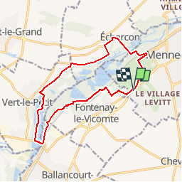


16 km | 17,9 km-effort


Benutzer


Kostenlosegpshiking-Anwendung
 SityTrail
IGN / Geografische Institute
SityTrail World
Die Welt öffnet sich für Sie
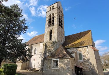
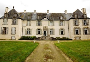
Tour Wandern von 14,1 km verfügbar auf Île-de-France, Essonne, Mennecy. Diese Tour wird von IreneProvost vorgeschlagen.
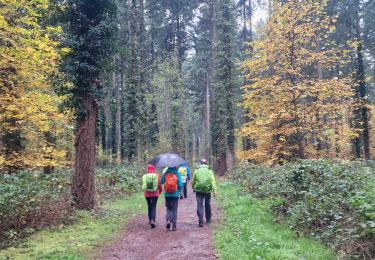
Très belle randonnée, pas trop de route, plusieurs observatoires à oiseaux sur le parcours. Nous avons parcouru 15km avec les crochets pour les observatoires.

Wandern

Zu Fuß
Wandern
Wandern
Wandern

Wandern
Zu Fuß
Zu Fuß
Zu Fuß