


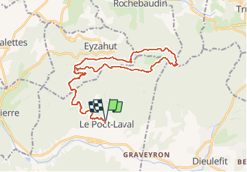


17,3 km | 31 km-effort


Benutzer


Kostenlosegpshiking-Anwendung
 SityTrail
IGN / Geografische Institute
SityTrail World
Die Welt öffnet sich für Sie
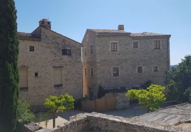
Tour Mountainbike von 22 km verfügbar auf Auvergne-Rhone-Alpen, Drôme, Le Poët-Laval. Diese Tour wird von quercus26 vorgeschlagen.
Un super tour!
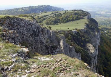
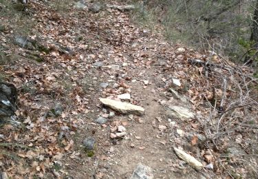
800 m de portage pour monter au "trou du furet" puis les plaines et la descente vers rochebaudin ( attention danger pour quelques passage très très proche du vide). puis une super descente en sous bois. Attention au temps et surtout au vent...

Zu Fuß

Wandern

Wandern

Wandern
Wandern

Wandern
Wandern

Wandern
Wandern