


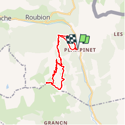

15,5 km | 28 km-effort

Benutzer


Kostenlosegpshiking-Anwendung
 SityTrail
IGN / Geografische Institute
SityTrail World
Die Welt öffnet sich für Sie
Tour Wandern von 14,3 km verfügbar auf Provence-Alpes-Côte d'Azur, Hochalpen, Névache. Diese Tour wird von silvestreclaudine vorgeschlagen.
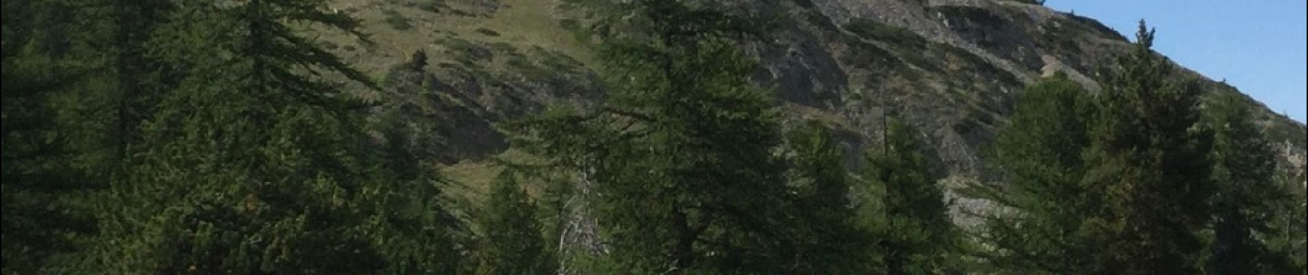
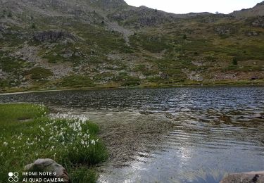
Depart parking de plampinet attention le sentier après le fort de lenlon n'existe pas se diriger vers le petit lac puis descendre vers la bergerie et partir vers la gauche sous les rochers


Wandern

Wandern

Wandern

Wandern

Mountainbike

Wandern

Wandern
Wandern

Wandern