


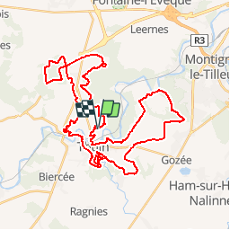


8,7 km | 10,9 km-effort

Benutzer GUIDE


Kostenlosegpshiking-Anwendung
 SityTrail
IGN / Geografische Institute
SityTrail World
Die Welt öffnet sich für Sie
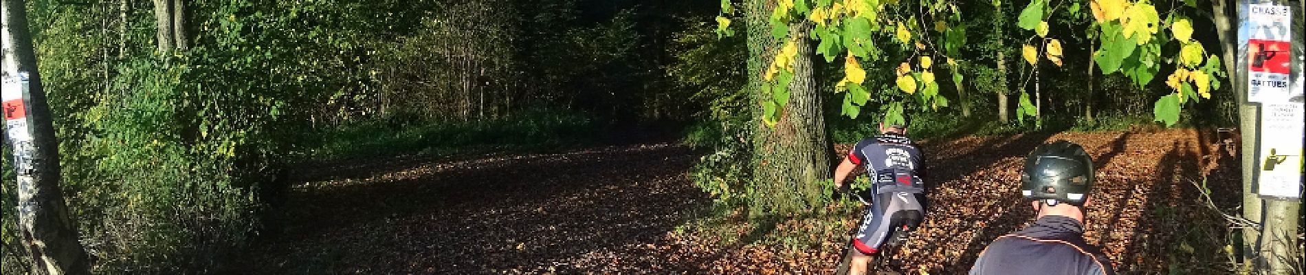
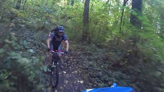
Tour Mountainbike von 44 km verfügbar auf Wallonien, Hennegau, Thuin. Diese Tour wird von pascalou73 vorgeschlagen.
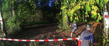
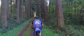
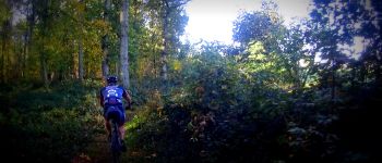
Un VTT dans la région de Thuin qui va vous faire découvrie la région au fil des sentiers et pas les beaux petits chemins . la randonnée avec quelque belle décente dans des beaux boisent sans difficulté .Bref 43 km de belle rando.


Wandern

Wandern

Wandern

Wandern

Wandern

Wandern

Wandern

Wandern

Wandern