


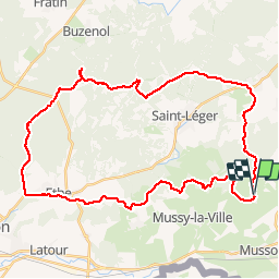


7,6 km | 9,8 km-effort

Passion Nature Contemplation


Kostenlosegpshiking-Anwendung
 SityTrail
IGN / Geografische Institute
SityTrail World
Die Welt öffnet sich für Sie
Tour Mountainbike von 38 km verfügbar auf Wallonien, Luxemburg, Emsong. Diese Tour wird von Gaume tranquille vorgeschlagen.
Très belle randonnées avec parcours techniques et sites exceptionnel s


Wandern
Wandern
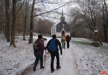
Wandern

Zu Fuß

Zu Fuß

Zu Fuß

Wandern
Wandern

Wandern