


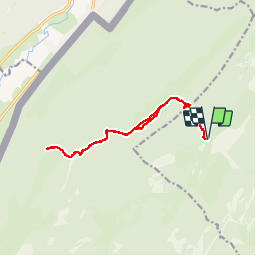

15,1 km | 21 km-effort

Benutzer


Kostenlosegpshiking-Anwendung
 SityTrail
IGN / Geografische Institute
SityTrail World
Die Welt öffnet sich für Sie
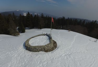
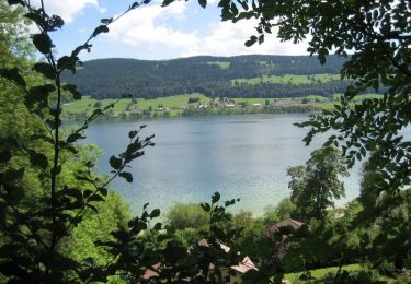
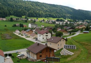
Tour Wandern von 14,5 km verfügbar auf Waadt, District de Nyon, Bassins. Diese Tour wird von tonymeyer vorgeschlagen.
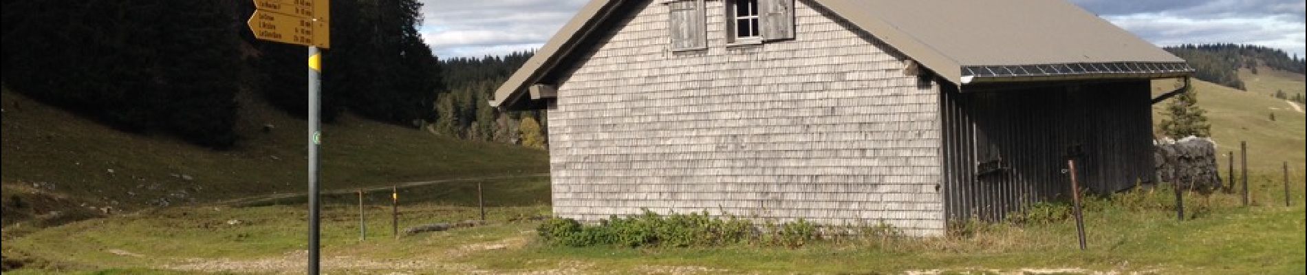
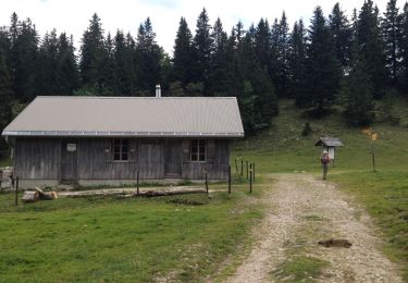
Départ point alt. 1263 m au virage de la Route de la Montagne avec la Combe des Ambournex.
Attention aux moutons sur le chemin qui longe le bord nord du Creux, pas les effrayer.


Wandern

Wandern

Wandern

Wandern

Zu Fuß
Zu Fuß
Wandern
Fahrrad
Mountainbike