


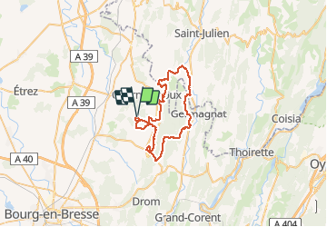

7 km | 11,3 km-effort


Benutzer


Kostenlosegpshiking-Anwendung
 SityTrail
IGN / Geografische Institute
SityTrail World
Die Welt öffnet sich für Sie
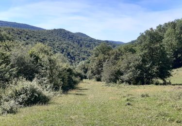
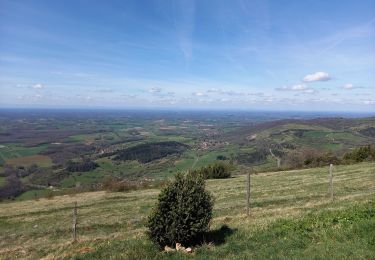
Tour Mountainbike von 46 km verfügbar auf Auvergne-Rhone-Alpen, Ain, Val-Revermont. Diese Tour wird von Valery01 vorgeschlagen.
Randonnée organisée par le Cyclo Club d’Attignat le dimanche 28 Août 2011 au départ de la Grange du Pin à Treffort Cuisiat.
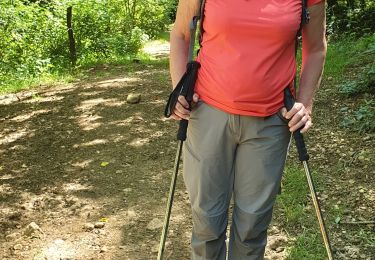
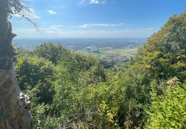
Wandern

Pferd

sport
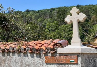
Wandern
Zu Fuß
Wandern

Wandern
Wandern
Wandern