

tour du bois de Creuse

ORTAX
Benutzer

Länge
11,8 km

Maximale Höhe
134 m

Positive Höhendifferenz
165 m

Km-Effort
14 km

Min. Höhe
77 m

Negative Höhendifferenz
168 m
Boucle
Ja
Erstellungsdatum :
2017-09-28 00:00:00.0
Letzte Änderung :
2017-09-28 00:00:00.0
1h24
Schwierigkeit : Medium

Kostenlosegpshiking-Anwendung
Über SityTrail
Tour Mountainbike von 11,8 km verfügbar auf Nordfrankreich, Somme, Creuse. Diese Tour wird von ORTAX vorgeschlagen.
Beschreibung
Parcours trialisant qui peut être glissant par temps humide. Attention aux marnes et autres racine. Quelques journées sont réservées à la chasse.
Ort
Land:
France
Region :
Nordfrankreich
Abteilung/Provinz :
Somme
Kommune :
Creuse
Standort:
Unknown
Gehen Sie:(Dec)
Gehen Sie:(UTM)
439696 ; 5520002 (31U) N.
Kommentare
Touren in der Umgebung
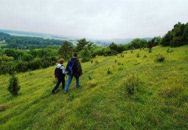
Le Parcours du chevreuil


Wandern
Einfach
(1)
Bacouel-sur-Selle,
Nordfrankreich,
Somme,
France

5,1 km | 6,2 km-effort
1h 40min
Ja
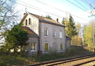
Le Parcours du Chevreuil


Zu Fuß
Einfach
Bacouel-sur-Selle,
Nordfrankreich,
Somme,
France

5 km | 6 km-effort
1h 22min
Ja
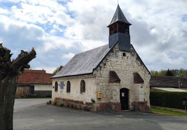
Le Bois du Quesnoy


Zu Fuß
Einfach
Fossemanant,
Nordfrankreich,
Somme,
France

8,2 km | 9,5 km-effort
2h 9min
Nein

Circuit des monts de Saleux


Wandern
Medium
Saleux,
Nordfrankreich,
Somme,
France

8,4 km | 9,8 km-effort
2h 4min
Ja
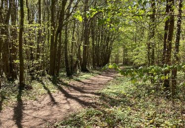
Bacouel sur Selle


Wandern
Medium
Bacouel-sur-Selle,
Nordfrankreich,
Somme,
France

20 km | 24 km-effort
4h 38min
Ja
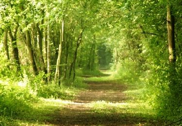
La coulée verte en Somme (1)


Wandern
Medium
Bacouel-sur-Selle,
Nordfrankreich,
Somme,
France

7,5 km | 8,1 km-effort
2h 30min
Nein
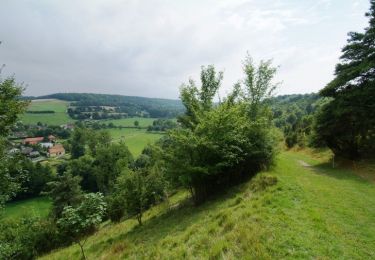
Le Bois du Quesnoy


Wandern
Medium
Fossemanant,
Nordfrankreich,
Somme,
France

8,3 km | 9,6 km-effort
2h 40min
Ja

Malplatel


sport
Sehr leicht
Creuse,
Nordfrankreich,
Somme,
France

24 km | 28 km-effort
Unbekannt
Nein

Taisnil


Wandern
Medium
Namps-Maisnil,
Nordfrankreich,
Somme,
France

9,4 km | 12 km-effort
2h 43min
Ja


 SityTrail


