


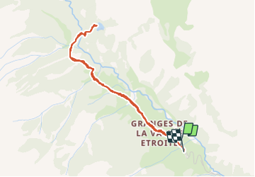

8,6 km | 16,2 km-effort

Benutzer


Kostenlosegpshiking-Anwendung
 SityTrail
IGN / Geografische Institute
SityTrail World
Die Welt öffnet sich für Sie
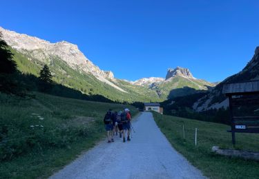
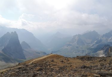
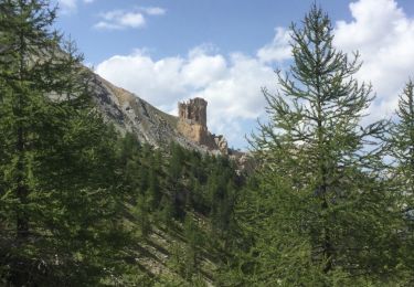
Tour Wandern von 4,2 km verfügbar auf Provence-Alpes-Côte d'Azur, Hochalpen, Névache. Diese Tour wird von Dervalmarc vorgeschlagen.
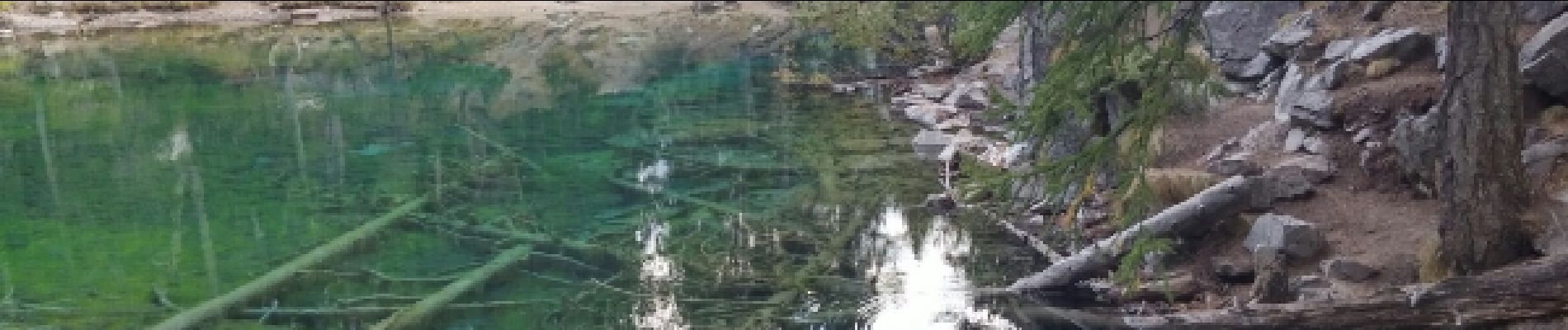
Promenade dans la vallée Étroite,ponctuée par la découverte du lac Vert,joyau d'une couleur rare et préservé dans son biotope de moyenne montagne.
 - Photo 1")
 - Photo 2")
 - Photo 3")
 - Photo 4")
 - Photo 5")
 - Photo 6")
 - Photo 7")

Wandern

Mountainbike

Wandern
Wandern

sport
Wandern
Wandern
Skiwanderen
Wandern
super marchette