Tour Wandern Névache - Nevache pont de fortville à Porte de cristol - Photo

Nevache pont de fortville à Porte de cristol

 oliseb
oliseb

Benutzer

© OpenStreetMap contributors
Länge
Länge
13,7 km
Maximale Höhe
Maximale Höhe
2479 m
Positive Höhendifferenz
935 m
Km-Effort
Km-Effort  
26 km
Min. Höhe
Min. Höhe
1586 m
Negative Höhendifferenz
935 m
Boucle
Boucle
Ja
Erstellungsdatum :
2017-09-17 00:00:00.0
Letzte Änderung :
2017-09-17 00:00:00.0

(0 Nachricht)

Wandern
Wandern
5h22
Schwierigkeit : Medium

Scannen Sie diesen QR-Code, um die Tour in der SityTrail-Anwendung zu öffnen

Kostenlosegpshiking-Anwendung

Logo SityTrail SityTrail
IGN / Geografische Institute

SityTrail aus dem App Store herunterladen SityTrail von Google Play herunterladen

Logo SityTrail SityTrail World
Die Welt öffnet sich für Sie

SityTrail aus dem App Store herunterladen SityTrail von Google Play herunterladen SityTrail auf Huawei AppGallery herunterladen

Über SityTrail

Tour Wandern von 13,7 km verfügbar auf Provence-Alpes-Côte d'Azur, Hochalpen, Névache. Diese Tour wird von oliseb vorgeschlagen.

Beschreibung

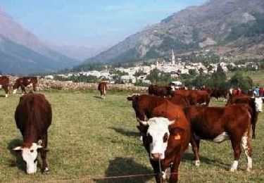
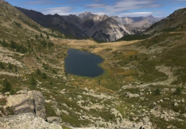
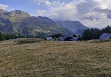
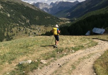
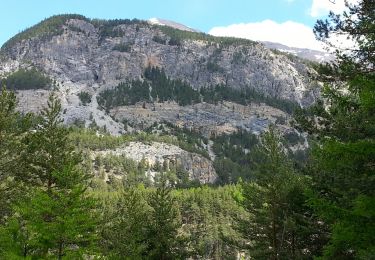
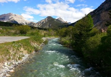
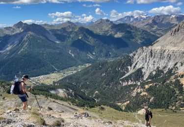
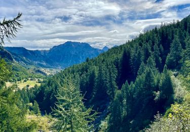
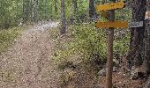
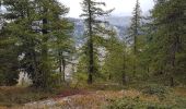
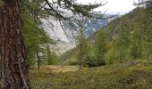
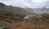
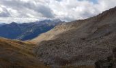
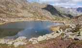
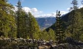
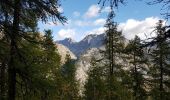
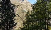
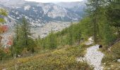
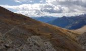
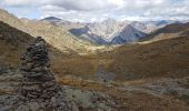
Depuis Névache se garer au Pont de Fort Ville. Traverser le pont et aux bergeries tourner a droite pour rejoindre l'auberge du clos, puis on rejoint le GR 57 qui même au lac de Cristol. La montée est sous les bois, à l'ombre. Après un raidillon on arrive a un petit pont.On empruntera le GR 5 C au retour. On poursuit jusqu'au lac Cristol puis un second raidillon nous conduit au Lac Rond de Cristol.De la, on poursuit jusqu’à la Porte de Cristol. Le retour se fait par le GR qui redescend en pente douce au lac de Cristol.Le retour se fait par le même chemin jusqu'au petit pont ou l'on reste sur le GR5 C. Après une partie assez horizontale, on laisse a droite le sentier qui mène au lac de l'Oule. La descente est peu agréable dans un chemin caillouteux en lacets. Puis le sentier s'améliore jusqu'au pont de Fort Ville.

Höhenprofil

Foto-Galerie

Ort

Land:
France
Region :
Provence-Alpes-Côte d'Azur
Abteilung/Provinz :
Hochalpen
Kommune :
Névache
Standort:
Unknown
Gehen Sie:(Dec)
Gehen Sie:(UTM)
312286 ; 4987717 (32T) N.

Touren in der Umgebung

Tour Wandern Névache - Via Alpina - R127: Névache > Le Monêtier-les-Bains - Photo
Wandern
tracegps

Wandern

Schwierig
(1)
Névache, Provence-Alpes-Côte d'Azur, Hochalpen, France
15,5 km | 28 km-effort
5h 0min
Nein
Tour Wandern Névache - Gardiette  - Photo
Wandern
GUIDE
jouans

Wandern

Einfach
Névache, Provence-Alpes-Côte d'Azur, Hochalpen, France
16,6 km | 32 km-effort
7h 33min
Ja
Tour Wandern Névache - Col de Buffère - Photo
Wandern
GUIDE
donda

Wandern

Schwierig
Névache, Provence-Alpes-Côte d'Azur, Hochalpen, France
20 km | 34 km-effort
5h 53min
Ja
Tour Wandern Névache - Col roche noire  - Photo
Wandern
GUIDE
jouans

Wandern

Schwierig
Névache, Provence-Alpes-Côte d'Azur, Hochalpen, France
17,1 km | 31 km-effort
6h 37min
Ja
Tour Wandern Névache - Plampinet Clarée aval - Photo
Wandern
GUIDE
Orcal37

Wandern

Einfach
Névache, Provence-Alpes-Côte d'Azur, Hochalpen, France
8,2 km | 10 km-effort
2h 17min
Ja
Tour Wandern Névache - Plampinet Clarée amont - Photo
Wandern
GUIDE
Orcal37

Wandern

Einfach
(1)
Névache, Provence-Alpes-Côte d'Azur, Hochalpen, France
6,2 km | 7,7 km-effort
1h 27min
Ja
Tour Wandern Névache - L'Aiguille rouge et Lac Chavillon : Panorama sur la vallée de la Clarée - Photo
Wandern
GUIDE
Pierre Lefèvre

Wandern

Sehr schwierig
Névache, Provence-Alpes-Côte d'Azur, Hochalpen, France
15,4 km | 29 km-effort
6h 29min
Ja
Tour Wandern Névache - Boucle au dessus de Névache par le Refuge de Buffère et Côte Rouge - Photo
Wandern
GUIDE
Pierre Lefèvre

Wandern

Sehr schwierig
Névache, Provence-Alpes-Côte d'Azur, Hochalpen, France
14,8 km | 24 km-effort
5h 26min
Ja
Tour Wandern Névache - lac de Cristol,, Nevache  - Photo
Wandern
okfred26

Wandern

Sehr schwierig
(1)
Névache, Provence-Alpes-Côte d'Azur, Hochalpen, France
11,2 km | 22 km-effort
4h 55min
Ja


Schließen
Meine Abonnements