


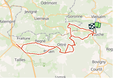

11,6 km | 15,6 km-effort

Benutzer


Kostenlosegpshiking-Anwendung
 SityTrail
IGN / Geografische Institute
SityTrail World
Die Welt öffnet sich für Sie
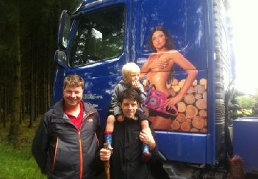
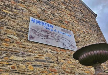
Tour Andere Aktivitäten von 41 km verfügbar auf Wallonien, Luxemburg, Vielsalm. Diese Tour wird von jeanloualt3 vorgeschlagen.
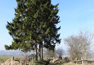
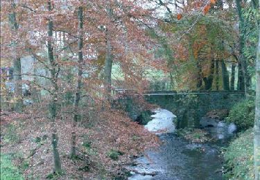
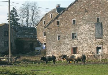
ballade baraque de Fraiture la comté jubieval mienne langlire règne baraque les tailles bihain langlire jubieval sainte Marie beche


Wandern
Wandern
Wandern

Wandern
Wandern
Wandern
Wandern

Mountainbike
Wandern