


18,7 km | 23 km-effort


Benutzer


Kostenlosegpshiking-Anwendung
 SityTrail
IGN / Geografische Institute
SityTrail World
Die Welt öffnet sich für Sie
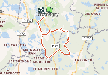
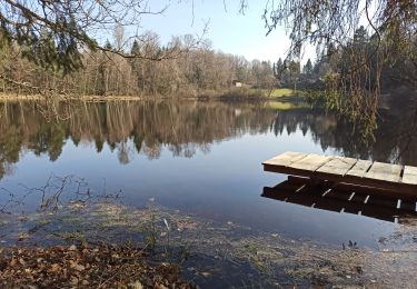
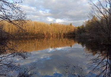
Tour Wandern von 6,9 km verfügbar auf Burgund und Freigrafschaft, Haute-Saône, Écromagny. Diese Tour wird von geranimo vorgeschlagen.
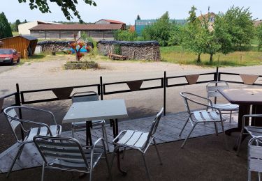
Circuit proposé par l’Office de Tourisme de la Haute Vallée de l’Ognon et de la Communauté de Communes de la Haute Vallée de l'Ognon. Départ de la place de la mairie d’Ecromagny. Retrouvez le circuit sur le site de l’Office de Tourisme de la Haute Vallée de l’Ognon. Ce circuit a été numérisé par les randonneurs du CODEPEM. Merci à Jean-Marie.
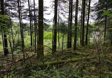
Wandern
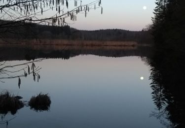
Wandern

Mountainbike
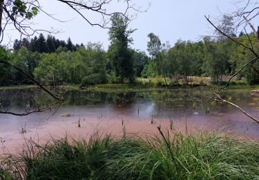
Wandern
Wandern
Wandern

Wandern

Wandern
Wandern