


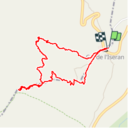


14 km | 27 km-effort

Benutzer GUIDE


Kostenlosegpshiking-Anwendung
 SityTrail
IGN / Geografische Institute
SityTrail World
Die Welt öffnet sich für Sie
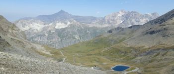
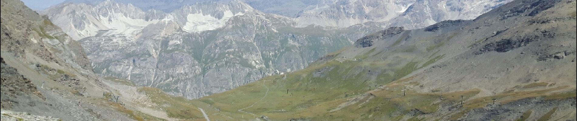
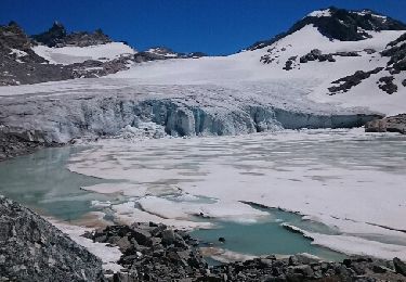
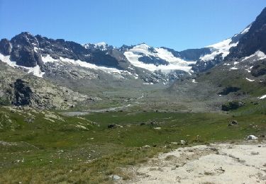
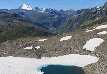
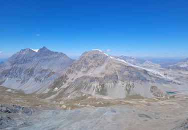
Tour Wandern von 2,4 km verfügbar auf Auvergne-Rhone-Alpen, Savoyen, Bonneval-sur-Arc. Diese Tour wird von amiral13 vorgeschlagen.
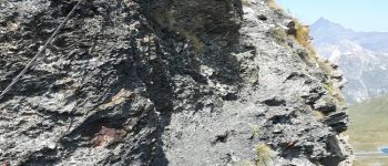
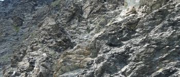
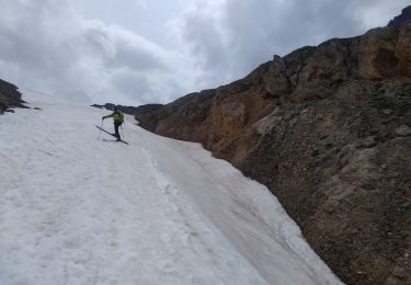
attention l'itinéraire de montée (nord) est en grande partie hors sentier.
Il est préférable d'utiliser le sentier sud pour un aller-retour.
cette randonnée a été réalisée avec un enfant de 9 ans, le temps de parcours peut être donc être réduit.


Wandern
Andere Aktivitäten
Wandern
Wandern
Wandern

Wandern
Wandern
Wandern
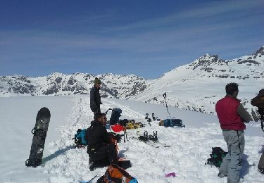
Skiwanderen