


9 km | 17,9 km-effort

Benutzer


Kostenlosegpshiking-Anwendung
 SityTrail
IGN / Geografische Institute
SityTrail World
Die Welt öffnet sich für Sie
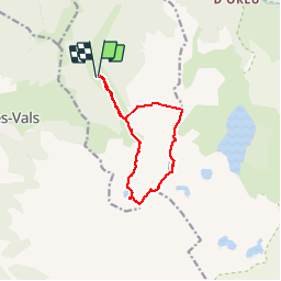
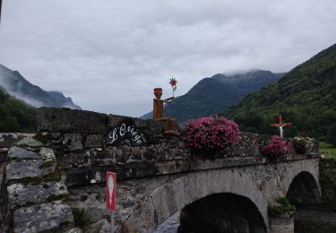
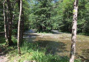
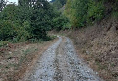
Tour Wandern von 11,5 km verfügbar auf Okzitanien, Ariège, Orgeix. Diese Tour wird von j2c11 vorgeschlagen.
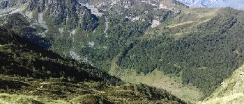
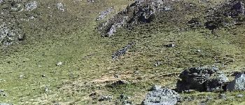
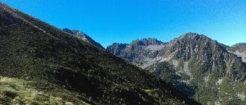
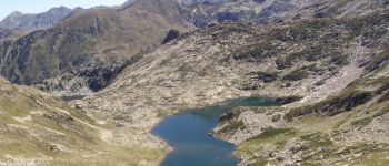
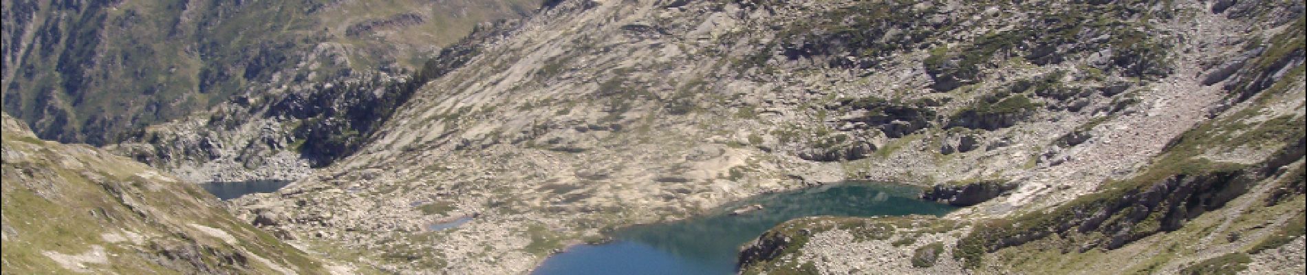
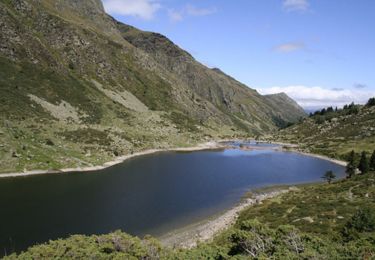
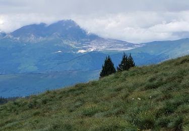
Boucle peu fréquentée pour faire le pic de l'homme au dessus du Lac d'Ayguelongue.
Rando de crête superbe permettant d'être "suspendu" au dessus de supers lacs du coté de Naguille.
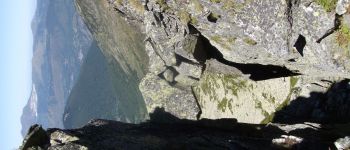
Attention pour atteindre le pic de l'homme ne pas suivre totalement la trace gps, car nous avons voulu suivre l'arrête qui est engagée. Descendre légèrement vers l'étang Tort tout en passant bien au dessus de la cabane pour atteindre le pic par le pierrier de la face Nord Est


Wandern
Wandern
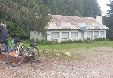
Mountainbike
Wandern
Wandern
Wandern
Nordic Walking