


7,4 km | 15,1 km-effort

Benutzer


Kostenlosegpshiking-Anwendung
 SityTrail
IGN / Geografische Institute
SityTrail World
Die Welt öffnet sich für Sie
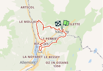
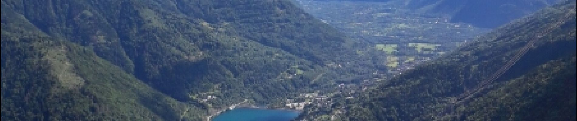
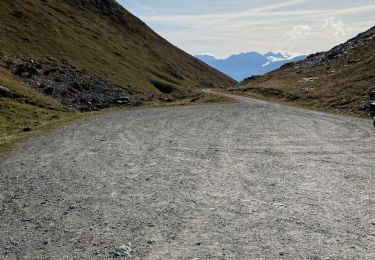
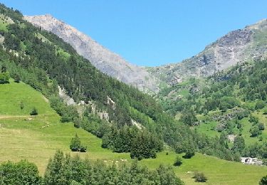
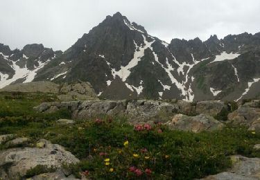
Tour Wandern von 15,5 km verfügbar auf Auvergne-Rhone-Alpen, Isère, Vaujany. Diese Tour wird von Axelloceane vorgeschlagen.
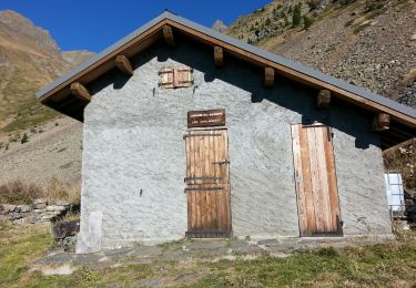
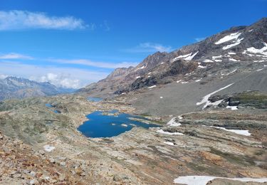
Départ de Vaujany en passant par le pôle sportif et ensuite tourner à droite en direction du Moulin.Traverser l'Enversin d'Oz pour rejoindre le village d'Oz en direction de l'usine électrique de l'Eau d'Olle.Suivre le sentier pour aller au hameau de Pourchery,puis direction le Collet en fin de parcours un dénivelé important.Vue superbe sur la vallée et pour finir descente vers Vaujany.


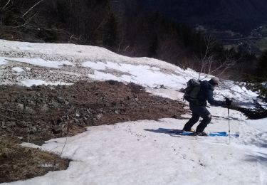
Wandern
Wandern
Wandern
Wandern
Wandern
Schneeschuhwandern
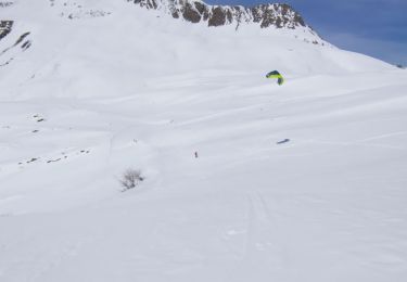
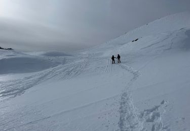
Skiwanderen
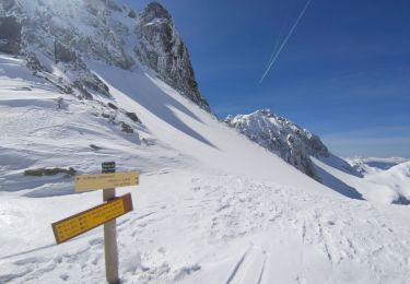
Skiwanderen
Skiwanderen