

6,7 km | 8,6 km-effort


Benutzer


Kostenlosegpshiking-Anwendung
 SityTrail
IGN / Geografische Institute
SityTrail World
Die Welt öffnet sich für Sie
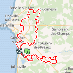
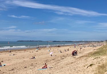
Tour Mountainbike von 52 km verfügbar auf Normandie, Manche, Saint-Pair-sur-Mer. Diese Tour wird von leclaude74 vorgeschlagen.
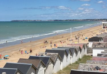
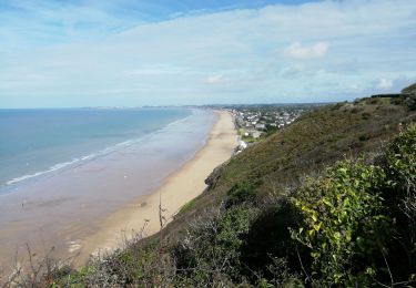
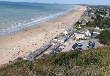
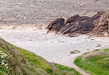
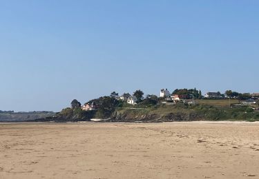
Parcours de la rando La MAXIMUM DE GRANVILLE !
n étant pas de la région super parcours avec 3 petites modifs apportées sur ce parcours , car probleme de chemin etc ....
Je conseille pour une belle découverte
Wandern
Wandern
Wandern
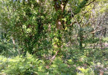
Wandern
Nordic Walking
Wandern
Wandern
Wandern