


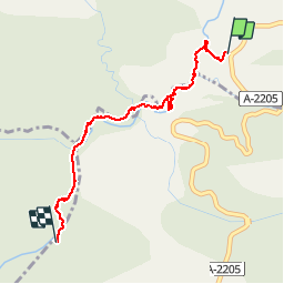

4,2 km | 5,9 km-effort

Benutzer


Kostenlosegpshiking-Anwendung
 SityTrail
IGN / Geografische Institute
SityTrail World
Die Welt öffnet sich für Sie
Tour Wandern von 2,8 km verfügbar auf Aragonien, Huesca, Bárcabo. Diese Tour wird von yamty35 vorgeschlagen.
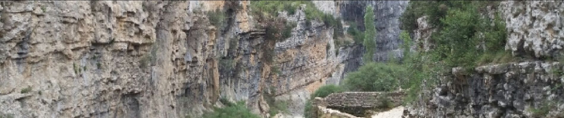
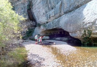
Descente tranquille du rio Vero à pied jusqu'aux Oscuros ;
de l'eau jusqu'à mi-cuisse au max) ; le passage du barrage du moulin peut être évité
 - Photo 1")
 - Photo 2")
Wandern

Wandern
Wandern
Wandern
Wandern
Wandern
Wandern