


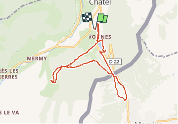

16,5 km | 30 km-effort


Benutzer


Kostenlosegpshiking-Anwendung
 SityTrail
IGN / Geografische Institute
SityTrail World
Die Welt öffnet sich für Sie
Tour Andere Aktivitäten von 9 km verfügbar auf Auvergne-Rhone-Alpen, Hochsavoyen, Châtel. Diese Tour wird von veloclublarchois vorgeschlagen.
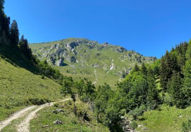
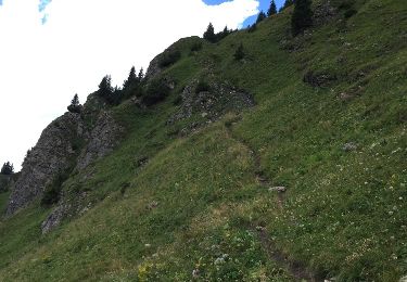
Après quelques hésitations car les sentiers s'embrouillent c'est une boucle Sympat à déguster à pleine dents , sans modération .

Wandern

Wandern

Wandern

Schneeschuhwandern

Schneeschuhwandern
Wandern

Schneeschuhwandern

Wandern
Andere Aktivitäten