


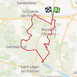

8,5 km | 10,5 km-effort


Randonnées du Parc naturel régional de la Haute Vallée de Chevreuse GUIDE+


Kostenlosegpshiking-Anwendung
 SityTrail
IGN / Geografische Institute
SityTrail World
Die Welt öffnet sich für Sie
Tour Mountainbike von 30 km verfügbar auf Île-de-France, Yvelines, Méré. Diese Tour wird von Parc naturel régional de la Haute Vallée de Chevreuse vorgeschlagen.
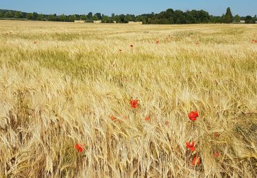
Empruntez les chemins de traverse du pays de Montfort jalonnés
d'anciennes demeures, de maisons d'écrivains et d'artistes... Environné
de paysages bucoliques, vous découvrirez des lieux secrets (ou presque)
qui vous enchanteront.

Wandern

Wandern

Wandern
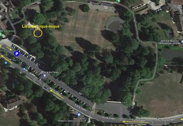
![Tour Wandern Montfort-l'Amaury - Yvelines_[Rando_Journée]_Montfort=>Les Mesnuls=>Autour_de_Montfort - Tronçon 1 - Photo](https://media.geolcdn.com/t/375/260/9a77b4d0-afa4-42cb-beea-4a17fa8cb8c3.jpg&format=jpg&maxdim=2)
Wandern
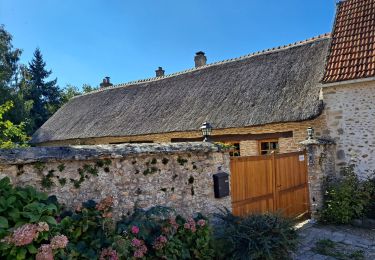
![Tour Wandern Montfort-l'Amaury - Yvelines_[Rando_Journée]_Montfort=>Les Mesnuls=>Autour_de_Montfort - Tronçon 2 - Photo](https://media.geolcdn.com/t/375/260/3a031c20-1fc4-4232-b97e-93470db48f02.jpg&format=jpg&maxdim=2)
Wandern
Wandern
Wandern
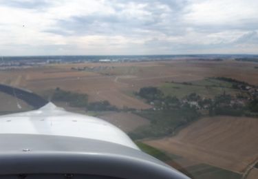
Flugzeug
Wandern