


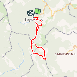

14 km | 26 km-effort


Benutzer


Kostenlosegpshiking-Anwendung
 SityTrail
IGN / Geografische Institute
SityTrail World
Die Welt öffnet sich für Sie
Tour Wandern von 12,6 km verfügbar auf Auvergne-Rhone-Alpen, Drôme, Teyssières. Diese Tour wird von YVESBRULARD vorgeschlagen.
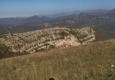
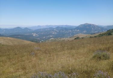
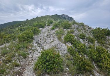
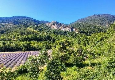
Près de la montagne Angèle, Cougoir est un promontoire rocheux bien détaché, offrant une vue remarquable sur la Drôme provençale et le Nyonsais, ses montagnes, vallons et villages.

Wandern
Wandern
Wandern
Wandern
Wandern

Wandern

Wandern
Wandern

Wandern