


8,6 km | 9,3 km-effort

Benutzer GUIDE


Kostenlosegpshiking-Anwendung
 SityTrail
IGN / Geografische Institute
SityTrail World
Die Welt öffnet sich für Sie
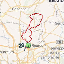
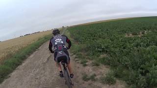
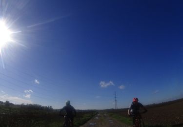
Tour Mountainbike von 46 km verfügbar auf Wallonien, Hennegau, Charleroi. Diese Tour wird von pascalou73 vorgeschlagen.
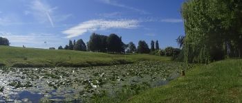
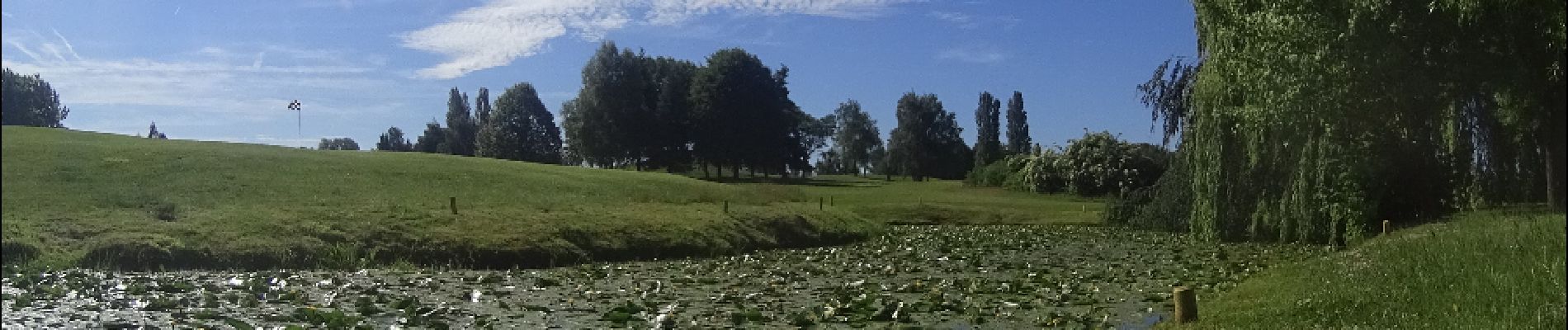
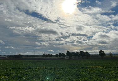
Voilà un VTT au départ de Ransart . Qui vas vous faire découvrir les très beaux sentiers sur la région et sur la région du Brabant Wallon .entre champ et forêt vous allez voir les villages Marbais et les belles petites ruelles et Mellery et la forêt de Villers-la-Ville et le golf de Sart-Dames-Avelines .Pour le retour il y a 2 possibilités le routé d'Heppignie à Ransart ou une ruelle ( - entretenue).


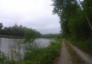
Wandern
Wandern
Wandern
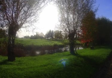
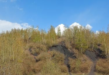
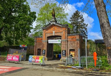
Mountainbike
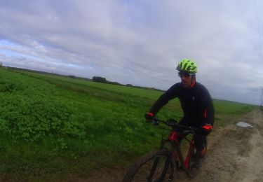
Mountainbike
Mountainbike
Mountainbike
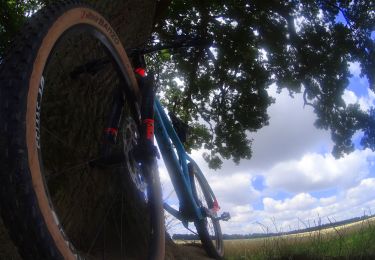
Mountainbike
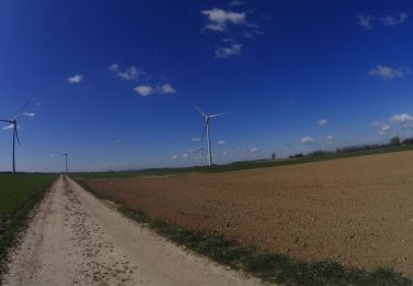
Mountainbike