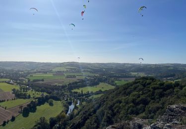
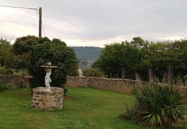
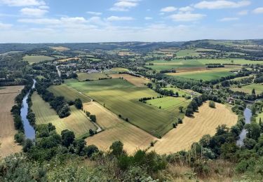
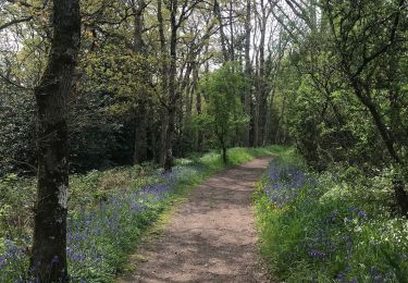
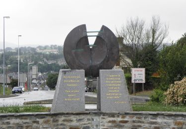
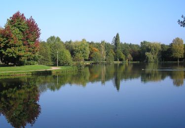
Tour Wandern Condé-en-Normandie - 2017-07-26 Rando Proussy - Photo

2017-07-26 Rando Proussy

 jchezlemas
jchezlemas

Benutzer

© OpenStreetMap contributors
Länge
Länge
10,8 km
Maximale Höhe
Maximale Höhe
232 m
Positive Höhendifferenz
243 m
Km-Effort
Km-Effort  
14 km
Min. Höhe
Min. Höhe
125 m
Negative Höhendifferenz
244 m
Boucle
Boucle
Ja
Erstellungsdatum :
2017-07-26 00:00:00.0
Letzte Änderung :
2017-07-26 00:00:00.0

(0 Nachricht)

Wandern
Wandern
3h02
Schwierigkeit : Einfach

Scannen Sie diesen QR-Code, um die Tour in der SityTrail-Anwendung zu öffnen

Kostenlosegpshiking-Anwendung

Logo SityTrail SityTrail

IGN / Geografische Institute

SityTrail aus dem App Store herunterladen SityTrail von Google Play herunterladen

Logo SityTrail SityTrail World

Die Welt öffnet sich für Sie

SityTrail aus dem App Store herunterladen SityTrail von Google Play herunterladen SityTrail auf Huawei AppGallery herunterladen

Über SityTrail

Tour Wandern von 10,8 km verfügbar auf Normandie, Calvados, Condé-en-Normandie. Diese Tour wird von jchezlemas vorgeschlagen.

Höhenprofil

Ort

Land:
France
Region :
Normandie
Abteilung/Provinz :
Calvados
Kommune :
Condé-en-Normandie
Standort:
Proussy
Gehen Sie:(Dec)
Gehen Sie:(UTM)
680502 ; 5417429 (30U) N.

Touren in der Umgebung

Tour Wandern Le Vey - Clécy - Photo
Wandern
zefreefly

Wandern

Einfach
(1)
Le Vey, Normandie, Calvados, France
14,8 km | 20 km-effort
3h 51min
Ja
Tour Wandern Clécy - Clecy - Pontecoulant - Photo
Wandern
GUIDE
VANDERPUTTENMi

Wandern

Schwierig
Clécy, Normandie, Calvados, France
11,7 km | 15,9 km-effort
2h 36min
Nein
Tour Nordic Walking Clécy - Suisse normande le Vey journée 13km - Photo
Nordic Walking
coglais

Nordic Walking

Schwierig
Clécy, Normandie, Calvados, France
12,9 km | 17,6 km-effort
4h 8min
Ja
Tour Nordic Walking Clécy - Suisse normande le Vey matin - Photo
Nordic Walking
coglais

Nordic Walking

Schwierig
Clécy, Normandie, Calvados, France
9,7 km | 13,2 km-effort
4h 8min
Nein
Tour Nordic Walking Clécy - Suisse normande le Vey repérage  - Photo
Nordic Walking
coglais

Nordic Walking

Schwierig
Clécy, Normandie, Calvados, France
15,7 km | 22 km-effort
4h 8min
Nein
Tour Wandern Le Vey - Clecy Pain de sucre - Photo
Wandern
papylou7

Wandern

Medium
Le Vey, Normandie, Calvados, France
9,4 km | 13,2 km-effort
2h 30min
Ja
Tour Zu Fuß Condé-en-Normandie - Sur les Traces de la Dame Blanche - Photo
Zu Fuß
GUIDE+

Zu Fuß

Einfach
Condé-en-Normandie, Normandie, Calvados, France
3,2 km | 4,2 km-effort
56min
Nein
Tour Zu Fuß Condé-en-Normandie - Vallée de la Druance - Photo
Zu Fuß
GUIDE+

Zu Fuß

Einfach
Condé-en-Normandie, Normandie, Calvados, France
4,1 km | 5,2 km-effort
1h 11min
Nein
Tour Zu Fuß Condé-en-Normandie - Chemin des Genêts - Photo
Zu Fuß
GUIDE+

Zu Fuß

Einfach
Condé-en-Normandie, Normandie, Calvados, France
3,1 km | 4 km-effort
54min
Nein


Schließen
Meine Abonnements