


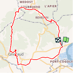


8,1 km | 10,6 km-effort

Benutzer GUIDE


Kostenlosegpshiking-Anwendung
 SityTrail
IGN / Geografische Institute
SityTrail World
Die Welt öffnet sich für Sie
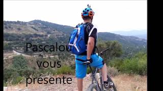
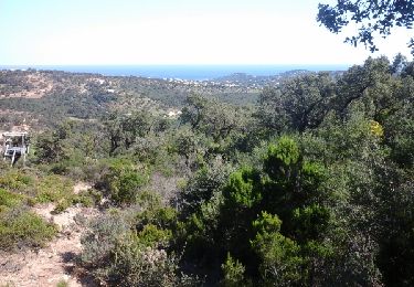
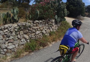
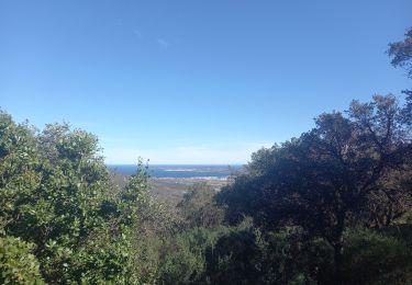
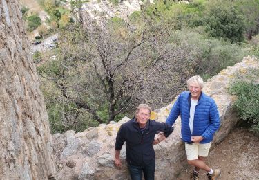
Tour Mountainbike von 21 km verfügbar auf Provence-Alpes-Côte d'Azur, Var, Grimaud. Diese Tour wird von pascalou73 vorgeschlagen.
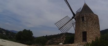
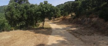
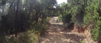
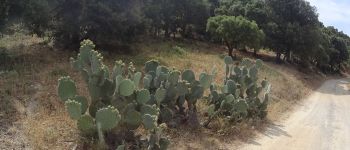
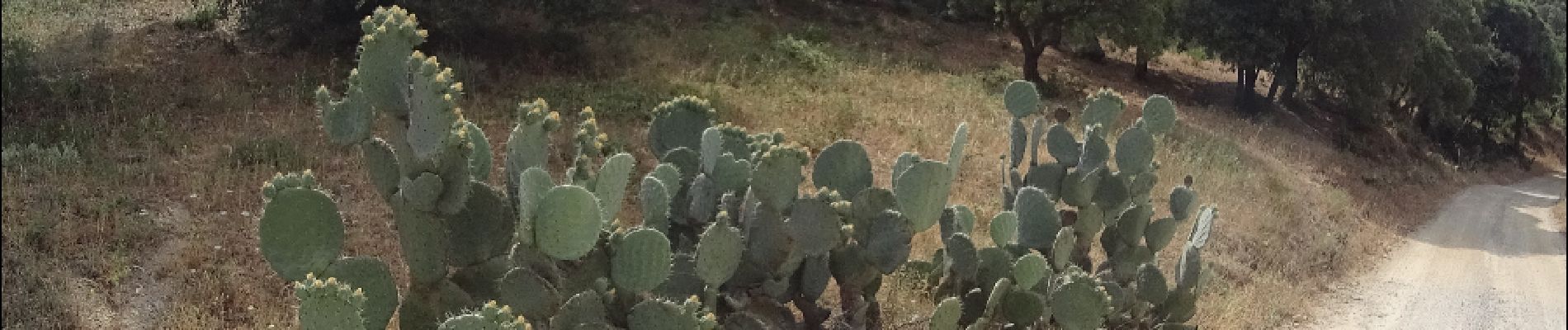
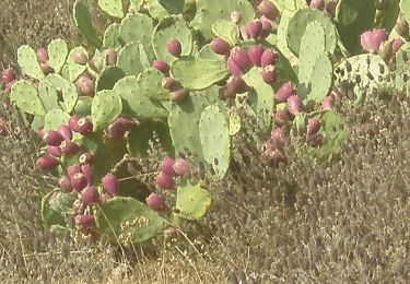
Voilà une VTT dans la région de Port -Grimaud .Sur la randonnée il y a un sentier plus difficile sur - 1 km500 ou il y a du portage une très belle randonnée entre la mer et les terres et le beau village de grimaud. bonne randonnée


Wandern
Mountainbike
Wandern

Wandern
Mountainbike

Mountainbike
Mountainbike
Wandern
Wandern