90 km | 113 km-effort
Boucle Le Giraldès
phcol
Benutzer
Länge
40 km
Maximale Höhe
1544 m
Positive Höhendifferenz
873 m
Km-Effort
51 km
Min. Höhe
1177 m
Negative Höhendifferenz
871 m
Boucle
Ja
Erstellungsdatum :
2017-07-24 00:00:00.0
Letzte Änderung :
2017-07-24 00:00:00.0
4h10
Schwierigkeit : Medium
Kostenlosegpshiking-Anwendung
Über SityTrail
Tour Mountainbike von 40 km verfügbar auf Okzitanien, Lozère, Arzenc-de-Randon. Diese Tour wird von phcol vorgeschlagen.
Beschreibung
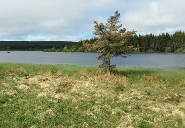
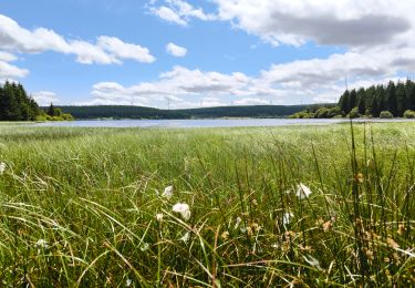
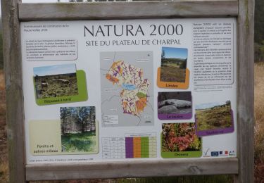
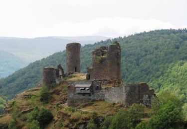
Boucle passant par le Truc de Fortunio, le lac de Charpal et Arzenc sur Randon.
Ort
Land:
France
Region :
Okzitanien
Abteilung/Provinz :
Lozère
Kommune :
Arzenc-de-Randon
Standort:
Unknown
Gehen Sie:(Dec)
Gehen Sie:(UTM)
547184 ; 4946203 (31T) N.
Kommentare
Touren in der Umgebung
06 GTMC Le Giraldès-Le Pont de Monvert
Mountainbike
Einfach
(1)
Arzenc-de-Randon,
Okzitanien,
Lozère,
France
15min
Nein
Le tour du lac de Charpal
Wandern
Sehr leicht
(1)
Monts-de-Randon,
Okzitanien,
Lozère,
France
9 km | 10,2 km-effort
2h 20min
Ja
tour du lamc Charpal
Wandern
Einfach
(2)
Monts-de-Randon,
Okzitanien,
Lozère,
France
9,4 km | 10,8 km-effort
3h 5min
Ja
Charpal
Wandern
Einfach
Monts-de-Randon,
Okzitanien,
Lozère,
France
17,6 km | 22 km-effort
5h 11min
Ja
Fait GTMC 2022 E2 3,3 b
Mountainbike
Schwierig
Arzenc-de-Randon,
Okzitanien,
Lozère,
France
54 km | 69 km-effort
6h 14min
Nein
Arzenc de Rendon
Wandern
Einfach
Arzenc-de-Randon,
Okzitanien,
Lozère,
France
10,6 km | 14,5 km-effort
3h 9min
Ja
Truc de Fortunio et lac de Charpal
Wandern
Medium
Monts-de-Randon,
Okzitanien,
Lozère,
France
16,6 km | 22 km-effort
5h 48min
Ja
GTMC de Claire - 6
Mountainbike
Sehr schwierig
Arzenc-de-Randon,
Okzitanien,
Lozère,
France
58 km | 74 km-effort
4h 30min
Nein
Tour du lac de Charpal
Wandern
Medium
Monts-de-Randon,
Okzitanien,
Lozère,
France
9,1 km | 10,5 km-effort
1h 59min
Ja