


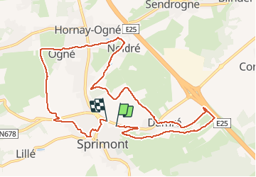

24 km | 34 km-effort


Benutzer


Kostenlosegpshiking-Anwendung
 SityTrail
IGN / Geografische Institute
SityTrail World
Die Welt öffnet sich für Sie
Tour Andere Aktivitäten von 11 km verfügbar auf Wallonien, Lüttich, Sprimont. Diese Tour wird von 2heavy vorgeschlagen.
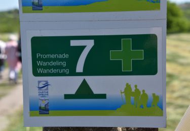
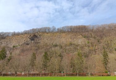
Mooie afwisselende wandeling, goed bewegwijzerd. Weinig te zien van de steengroeven, museum een bezoekje waard. In het seizoen is er halfweg een drinkgelegenheid.

Wandern

Wandern

Wandern
Wandern

Wandern

Wandern
Wandern

Wandern
Wandern