


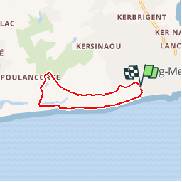

24 km | 27 km-effort


Benutzer


Kostenlosegpshiking-Anwendung
 SityTrail
IGN / Geografische Institute
SityTrail World
Die Welt öffnet sich für Sie
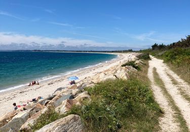
Tour Wandern von 4,7 km verfügbar auf Bretagne, Finistère, Fouesnant. Diese Tour wird von olibreizh vorgeschlagen.
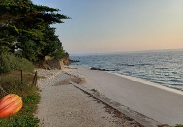
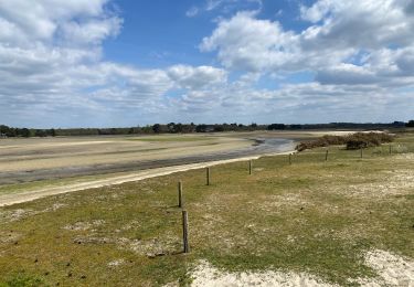
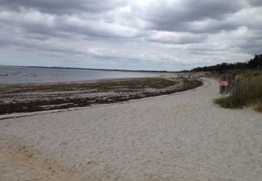
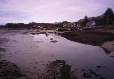
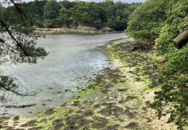
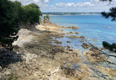
Promenade facile, pendant laquelle on peut admirer l'architecture du village vacances "Le renouveau" de l'architecte Henri Mouette. La passage dans le marais permet de voir des espèces végétales rares.
Wandern
Laufen
Wandern
Wandern

Wandern
Wandern
Wandern
Wandern