


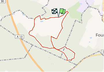

10,7 km | 13,7 km-effort


Benutzer


Kostenlosegpshiking-Anwendung
 SityTrail
IGN / Geografische Institute
SityTrail World
Die Welt öffnet sich für Sie
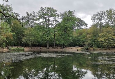
Tour Nordic Walking von 8,8 km verfügbar auf Île-de-France, Yvelines, Chambourcy. Diese Tour wird von olivier732 vorgeschlagen.
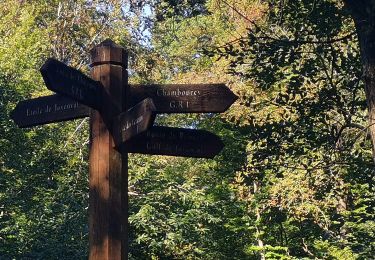
près de Chambourcy. Terrain varié avec des chemins pas toujours en très bon état. A côté du parcours vous pouvez visiter le "désert de Retz", jardin étonnant (visites le samedin sur inscription.
Wandern
Wandern

Wandern

Wandern

Wandern
Zu Fuß

Mountainbike
Wandern

Wandern