


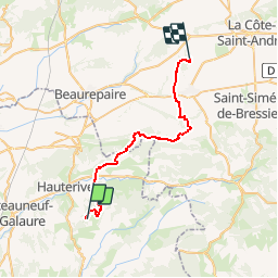

7,9 km | 9,1 km-effort


Benutzer


Kostenlosegpshiking-Anwendung
 SityTrail
IGN / Geografische Institute
SityTrail World
Die Welt öffnet sich für Sie
Tour Pferd von 31 km verfügbar auf Auvergne-Rhone-Alpen, Drôme, Saint-Christophe-et-le-Laris. Diese Tour wird von jacquesdunogier vorgeschlagen.
3° étape d'un voyage de 8 jours entre Glun(07) et Bourg en Bresse(01)EQUIRANDO 2017 par l'équipe de Caval'07
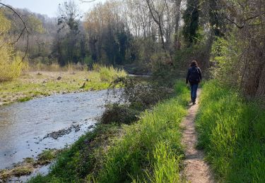
Wandern
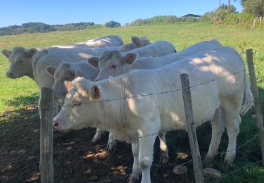
Wandern
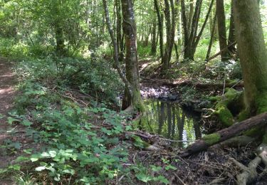
Wandern
Wandern
Wandern
Wandern

Wandern
Wandern

Rennrad